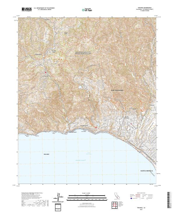
2022 Map of Topanga
USGS Topo · Published 2022About this map
The Santa Monica Mountains National Recreation Area dominates this landscape, where steep canyons meet the coastline of the Pacific Ocean. Dense residential development in Pacific Palisades and Riviera contrasts with the winding canyon roads of the interior, such as Topanga Canyon Blvd which connects the coast to the community of Topanga. Small enclaves like Glenview, Sylvia Park, and Fernwood are tucked away along ridges like Henry Ridge and deep within the drainage of Topanga Canyon. Along the shore, a string of coastal landmarks including Topanga Beach, Rock Beach, and Las Tunas Beach line the margin of Santa Monica Bay. The map reveals an intricate network of fire roads and hiking paths, including the California Coastal Trl and the Will Rogers Beach Route Trl near Inspiration Point.
Find a feature on this map
189 named features on this map. Tap any name to fly to it.
Don’t see what you’re looking for? This feature index may not catch every label — zoom into the map to look around manually.
Map Details
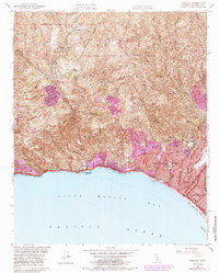
Editions of this 2022 Topanga Map
This is the sole edition of this map. No revisions or reprints were ever made.
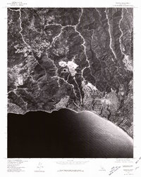
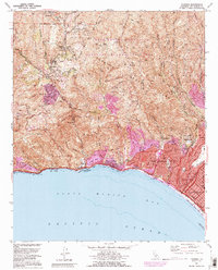
Historical Maps of Los Angeles Through Time
4 maps found
Featured Locations
- Malibu, CA
- Unincorporated Santa Monica Mountains, CA
- Los Angeles, CA
- Santa Monica, CA
- Sylvia Park, Topanga