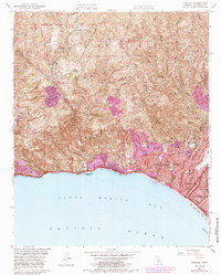
1952 Map of Topanga
USGS Topo · Published 1985About this map
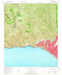
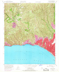
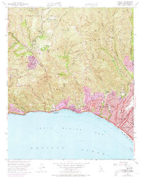
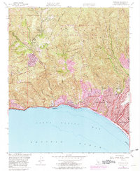
The Santa Monica Mountains meet the sea in this mid-century survey, documenting a period when rugged canyon landscapes were increasingly giving way to suburban expansion. Coastal settlements like Pacific Palisades and Topanga Beach are detailed alongside the intricate drainage patterns of Topanga Canyon and Rustic Canyon. The map reveals a transition from rural homesteads like Trippet Ranch and recreational sites like Camp Josepho to the structured neighborhoods of the late 20th century, highlighted by purple-shaded urban updates. Key landmarks include the Riviera Country Club and the Polo Field near Will Rogers State Park. This record captures the precise boundaries of the Santa Monica Mountains National Recreation Area and the emerging road network of Sunset Blvd and Pacific Coast Hwy, providing a detailed view of the terrain before later modern development.
Find a feature on this map
47 named features on this map. Tap any name to fly to it.
Don’t see what you’re looking for? This feature index may not catch every label — zoom into the map to look around manually.
Map Details
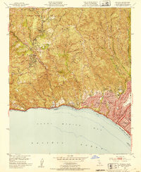
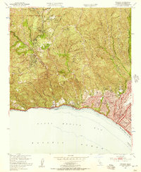
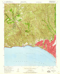
Editions of this 1952 Topanga Map
8 editions found
Other maps of this area

1894 · Los Angeles
USGS Topo · 1:62,500

1896 · Redondo
USGS Topo · 1:62,500

1896 · Santa Monica
USGS Topo · 1:62,500

1898 · Santa Monica
USGS Topo · 1:62,500

1900 · Los Angeles
USGS Topo · 1:62,500

1901 · Southern California Sheet No. 1
USGS Topo · 1:250,000

1902 · Santa Monica
USGS Topo · 1:62,500

1903 · Calabasas
USGS Topo · 1:62,500

1903 · Camulos
USGS Topo · 1:125,000

1904 · Southern California Sheet No. 1
USGS Topo · 1:250,000