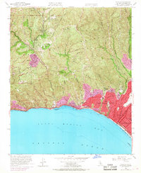
1952 Map of Topanga
USGS Topo · Published 1968About this map
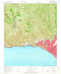
The Santa Monica Mountains dominate this mid-century coastal survey, where deep canyons like Rustic Canyon and Temescal Canyon carve through the landscape toward Santa Monica Bay. The settlement patterns of the early 1950s reveal the contrasting development between the inland canyon communities of Topanga and Fernwood and the more structured residential growth of Pacific Palisades and Santa Monica. At the coast, a string of recreational landmarks includes Will Rogers State Beach and Las Tunas Beach, while the presence of the Riviera Country Club and Will Rogers State Park reflects the era's established leisure infrastructure. Detailed street grids in the southern portion, including Sunset Blvd and Wilshire Blvd, show the advancement of suburban sprawl against the steep terrain of Parker Mesa and Castellammare Mesa.
Find a feature on this map
53 named features on this map. Tap any name to fly to it.
Don’t see what you’re looking for? This feature index may not catch every label — zoom into the map to look around manually.
Map Details
Editions of this 1952 Topanga Map
8 editions found
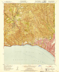
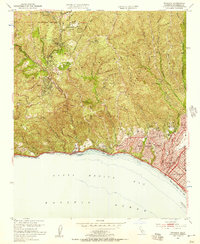
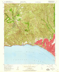
Other maps of this area

1894 · Los Angeles
USGS Topo · 1:62,500

1896 · Redondo
USGS Topo · 1:62,500

1896 · Santa Monica
USGS Topo · 1:62,500

1898 · Santa Monica
USGS Topo · 1:62,500

1900 · Los Angeles
USGS Topo · 1:62,500

1901 · Southern California Sheet No. 1
USGS Topo · 1:250,000

1902 · Santa Monica
USGS Topo · 1:62,500

1903 · Calabasas
USGS Topo · 1:62,500

1903 · Camulos
USGS Topo · 1:125,000

1904 · Southern California Sheet No. 1
USGS Topo · 1:250,000