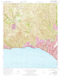
1952 Map of Topanga
USGS Topo · Published 1973About this map
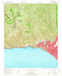
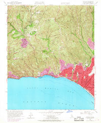
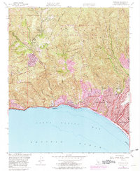
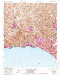
Santa Monica Mountains terrain meets the shoreline of Santa Monica Bay in this mid-century portrait of coastal Los Angeles County. The map shows the dramatic transition from the steep, canyon-riven interior—home to mountain retreats like Trippet Ranch and Sylvia Park—to the burgeoning post-war suburban development along the coast. The purple tinting reveals the rapid expansion of urban areas in Pacific Palisades and Santa Monica, while the canyons such as Topanga Canyon and Temescal Canyon remain largely defined by topographical contours and smaller settlements like Fernwood. Along the Pacific Coast Hwy, the relationship between the mountains and the sea is highlighted by landmarks such as Will Rogers Beach State Park and Las Tunas Beach. Cultural and recreational hubs of the era are well-documented, including the Riviera Country Club and several local institutions like Topanga School and the Corpus Christi Sch.
Find a feature on this map
60 named features on this map. Tap any name to fly to it.
Don’t see what you’re looking for? This feature index may not catch every label — zoom into the map to look around manually.
Map Details
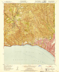
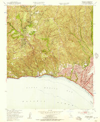
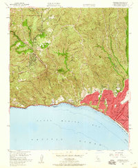
Editions of this 1952 Topanga Map
8 editions found
Other maps of this area

1894 · Los Angeles
USGS Topo · 1:62,500

1896 · Redondo
USGS Topo · 1:62,500

1896 · Santa Monica
USGS Topo · 1:62,500

1898 · Santa Monica
USGS Topo · 1:62,500

1900 · Los Angeles
USGS Topo · 1:62,500

1901 · Southern California Sheet No. 1
USGS Topo · 1:250,000

1902 · Santa Monica
USGS Topo · 1:62,500

1903 · Calabasas
USGS Topo · 1:62,500

1903 · Camulos
USGS Topo · 1:125,000

1904 · Southern California Sheet No. 1
USGS Topo · 1:250,000