
1903 Map of Calabasas
USGS Topo · Published 1903About this map
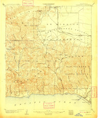
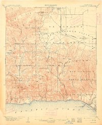
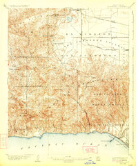
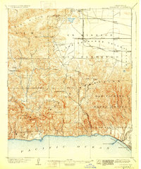
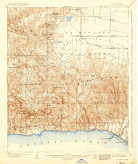
San Fernando Valley ranching and early citrus lands meet the steep canyons of the Santa Monica Mountains in this survey based on field work from the late 19th century. The landscape is defined by vast land grants and historical ranchos, including Ex Mission, Escorpion, and Boca de Santa Monica. Along the coast, Port Los Angeles stands as a significant maritime landmark near the mouth of Santa Monica Canyon, while inland, the Southern Pacific railroad and its Chatsworth Park Branch facilitate the growth of nascent settlements like Chatsworth, Canoga, and Reseda. The terrain transitions from the high ridges of Calabasas Peak and Saddle Peak down through a network of steep drainage systems such as Topanga Canyon and Malibu, illustrating the difficult topography that separated the valley floor from the shoreline before modern highway development.
Find a feature on this map
56 named features on this map. Tap any name to fly to it.
Don’t see what you’re looking for? This feature index may not catch every label — zoom into the map to look around manually.
Map Details
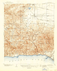
Editions of this 1903 Calabasas Map
8 editions found
Other maps of this area

1894 · Los Angeles
USGS Topo · 1:62,500

1896 · Redondo
USGS Topo · 1:62,500

1896 · Santa Monica
USGS Topo · 1:62,500

1898 · Santa Monica
USGS Topo · 1:62,500

1900 · Los Angeles
USGS Topo · 1:62,500

1900 · Fernando
USGS Topo · 1:62,500

1900 · Triunfo Pass
USGS Topo · 1:62,500

1900 · Piru
USGS Topo · 1:62,500

1901 · Southern California Sheet No. 1
USGS Topo · 1:250,000

1902 · Santa Monica
USGS Topo · 1:62,500