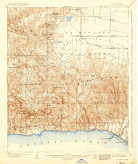
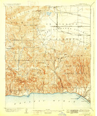
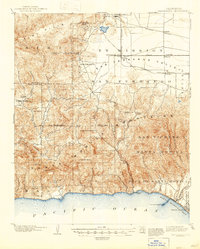
1903 Map of Calabasas
USGS Topo · Published 1937About this map
Ex Mission San Fernando and the western reaches of the San Fernando Valley define the northern portion of this landscape, where the Southern Pacific Railroad was driving the growth of early settlements. Small outposts like Zelzah, Owensmouth, and Chatsworth appear as key nodes on the rail lines before the mid-century suburban expansion. To the south, the topography rises sharply into the Santa Monica Mountains, a complex terrain of deep drainages such as Topanga Canyon and Santa Monica Canyon that drop toward the Pacific Ocean.
Find a feature on this map
62 named features on this map. Tap any name to fly to it.
Don’t see what you’re looking for? This feature index may not catch every label — zoom into the map to look around manually.
Map Details
Editions of this 1903 Calabasas Map
8 editions found

Other maps of this area

1894 · Los Angeles
USGS Topo · 1:62,500

1896 · Redondo
USGS Topo · 1:62,500

1896 · Santa Monica
USGS Topo · 1:62,500

1898 · Santa Monica
USGS Topo · 1:62,500

1900 · Los Angeles
USGS Topo · 1:62,500

1900 · Fernando
USGS Topo · 1:62,500

1900 · Triunfo Pass
USGS Topo · 1:62,500

1900 · Piru
USGS Topo · 1:62,500

1901 · Southern California Sheet No. 1
USGS Topo · 1:250,000

1902 · Santa Monica
USGS Topo · 1:62,500