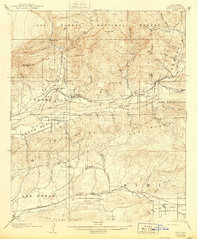
1900 Map of Piru
USGS Topo · Published 1900About this map
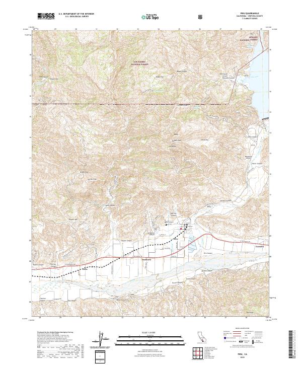
The Southern Pacific railroad corridor defines the development of the Santa Clara River valley in this 1900 survey, connecting a string of early agricultural settlements from Somis to Camulos. The landscape is dominated by the transition from the steep peaks of the Los Padres National Forest, including Hopper Mtn and San Cayetano Mtn, down to the fertile plains of the Little Simi Valley. Local geography is intricately mapped through its complex canyon systems, such as Sespe Creek and Piru Creek, which were vital for water access in this semi-arid region.
Find a feature on this map
53 named features on this map. Tap any name to fly to it.
Don’t see what you’re looking for? This feature index may not catch every label — zoom into the map to look around manually.
Map Details
Editions of this 1900 Piru Map
This is the sole edition of this map. No revisions or reprints were ever made.
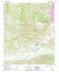
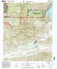
Historical Maps of Thousand Oaks Through Time
9 maps found