
1903 Map of Santa Susana
USGS Topo · Published 1903About this map
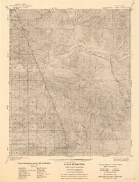
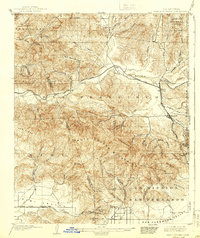
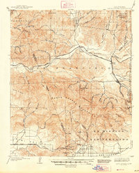
The Santa Susana Mountains dominate this 1900 survey, serving as a rugged divide between the Simi Valley and the northern reaches of the San Fernando Valley. At this turn-of-the-century moment, the landscape is defined by the early infrastructure of the Southern Pacific Railroad, including the critical Santa Susana Tunnel and the Fernando Tunnel, which allowed rail traffic to breach these formidable coastal ranges. To the north, the Pine Mountain and Zaca Lake Forest Reserve marks the protected wilderness, while the vast Ex Mission San Fernando lands reflect the region's transition from Spanish-era ranchos to modern development.
Find a feature on this map
68 named features on this map. Tap any name to fly to it.
Don’t see what you’re looking for? This feature index may not catch every label — zoom into the map to look around manually.
Map Details
Editions of this 1903 Santa Susana Map
8 editions found
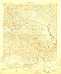
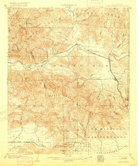
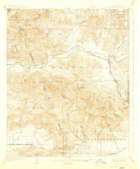
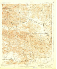
Other maps of this area

1894 · Los Angeles
USGS Topo · 1:62,500

1896 · Santa Monica
USGS Topo · 1:62,500

1898 · Santa Monica
USGS Topo · 1:62,500

1900 · Los Angeles
USGS Topo · 1:62,500

1900 · Fernando
USGS Topo · 1:62,500

1900 · Triunfo Pass
USGS Topo · 1:62,500

1900 · Piru
USGS Topo · 1:62,500

1901 · Southern California Sheet No. 1
USGS Topo · 1:250,000

1902 · Santa Monica
USGS Topo · 1:62,500

1903 · Calabasas
USGS Topo · 1:62,500