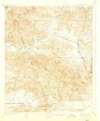
1903 Map of Santa Susana
USGS Topo · Published 1924About this map
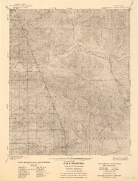
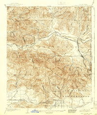
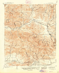
The Santa Susana Mountains dominate this early 20th-century landscape, serving as a formidable natural barrier between the expanding Simi Valley and the San Fernando Valley. The Southern Pacific railroad provides the primary connective infrastructure of the era, punctuated by engineering feats like the Santa Susana Tunnel and the San Fernando Tunnel. These subterranean routes were essential for navigating the complex topography of the region, which is deeply incised by drainages such as San Francisquito Canyon and Bouquet Canyon.
Find a feature on this map
66 named features on this map. Tap any name to fly to it.
Don’t see what you’re looking for? This feature index may not catch every label — zoom into the map to look around manually.
Map Details
Editions of this 1903 Santa Susana Map
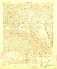
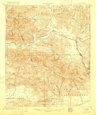
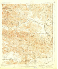
8 editions found

Other maps of this area

1894 · Los Angeles
USGS Topo · 1:62,500

1896 · Santa Monica
USGS Topo · 1:62,500

1898 · Santa Monica
USGS Topo · 1:62,500

1900 · Los Angeles
USGS Topo · 1:62,500

1900 · Fernando
USGS Topo · 1:62,500

1900 · Triunfo Pass
USGS Topo · 1:62,500

1900 · Piru
USGS Topo · 1:62,500

1901 · Southern California Sheet No. 1
USGS Topo · 1:250,000

1902 · Santa Monica
USGS Topo · 1:62,500

1903 · Calabasas
USGS Topo · 1:62,500