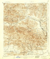
1903 Map of Santa Susana
USGS Topo · Published 1939About this map
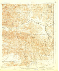
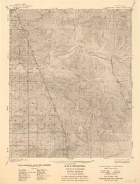
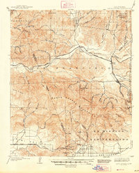
The Santa Clara River bisects this turn-of-the-century landscape, where the northern reaches of the San Fernando Valley meet the rising Santa Susana Mountains. Surveyed in 1900, the map illustrates a pivotal era of regional infrastructure, specifically the Southern Pacific Railroad and its critical Santa Susana Pass Tunnel, which connected the Simi Valley to the coastal lines. The legacy of Spanish land grants is clearly visible in the extensive Ex Mission San Fernando tract.
Find a feature on this map
62 named features on this map. Tap any name to fly to it.
Don’t see what you’re looking for? This feature index may not catch every label — zoom into the map to look around manually.
Map Details
Editions of this 1903 Santa Susana Map
8 editions found

Other maps of this area

1894 · Los Angeles
USGS Topo · 1:62,500

1896 · Santa Monica
USGS Topo · 1:62,500

1898 · Santa Monica
USGS Topo · 1:62,500

1900 · Los Angeles
USGS Topo · 1:62,500

1900 · Fernando
USGS Topo · 1:62,500

1900 · Triunfo Pass
USGS Topo · 1:62,500

1900 · Piru
USGS Topo · 1:62,500

1901 · Southern California Sheet No. 1
USGS Topo · 1:250,000

1902 · Santa Monica
USGS Topo · 1:62,500

1903 · Calabasas
USGS Topo · 1:62,500