Loading...
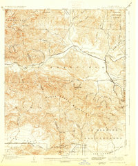
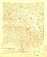
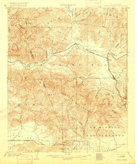
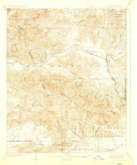
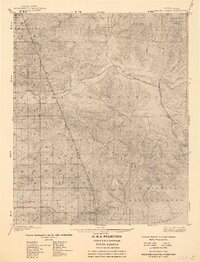
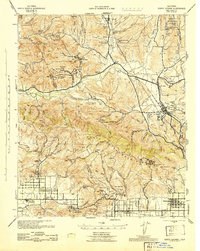
Loading map...1903 Map of Santa Susana
USGS Topo · Published 1930About this map
The Santa Susana Mountains dominate this 1900 survey, serving as a massive topographical barrier between the growing San Fernando Valley and the Santa Clara River basin. The Southern Pacific railroad network is the lifeblood of the region, featuring the critical Santa Susana Tunnel which connected the Simi Valley via the Somis Branch. Early settlement patterns are tied closely to these rail corridors and canyon mouths, with towns like Newhall and Saugus established at key junctions.
Find a feature on this map
66 named features on this map. Tap any name to fly to it.
Don’t see what you’re looking for? This feature index may not catch every label — zoom into the map to look around manually.
Map Details
Date Portrayed1903
Date Published1930
PublisherU.S. Geological Survey
Map TypeTopographic
Scale1:62,500
Physical Dimensions16.6 x 19.9 inches
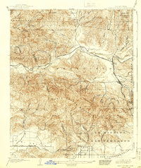
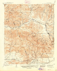
Editions of this 1903 Santa Susana Map
8 editions found

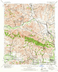
Historical Maps of Los Angeles Through Time
3 maps found
Featured Locations
Source Details
SourceU.S. Geological Survey
CopyrightPublic Domain