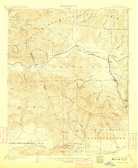
1903 Map of Santa Susana
USGS Topo · Published 1908About this map
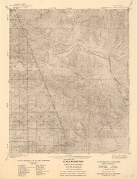
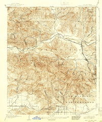
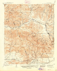
The Santa Susana Mountains form a formidable barrier across this 1900 survey, separating the burgeoning ranch lands of the San Fernando Valley from the Santa Clara River valley. This era marks a critical transition in Southern California transportation history as the Southern Pacific (Santa Barbara Line) seeks passage through the rugged interior. Significant engineering feats are documented here, specifically the Santa Susana Tunnel near the Santa Susana Pass and the Fernando Tunnel providing rail access to the north. Settlements like Newhall and Saugus serve as vital junctions where the Southern Pacific R.R. meets the foothills. The landscape is dominated by the sprawling Santa Barbara National Forest and the historical footprint of the Ex Mission San Fernando, while numerous canyons such as San Francisquito Canyon and Placerita Creek carve through the high ridges of Oak Ridge.
Find a feature on this map
62 named features on this map. Tap any name to fly to it.
Don’t see what you’re looking for? This feature index may not catch every label — zoom into the map to look around manually.
Map Details
Editions of this 1903 Santa Susana Map
8 editions found

Other maps of this area

1894 · Los Angeles
USGS Topo · 1:62,500

1896 · Santa Monica
USGS Topo · 1:62,500

1898 · Santa Monica
USGS Topo · 1:62,500

1900 · Los Angeles
USGS Topo · 1:62,500

1900 · Fernando
USGS Topo · 1:62,500

1900 · Triunfo Pass
USGS Topo · 1:62,500

1900 · Piru
USGS Topo · 1:62,500

1901 · Southern California Sheet No. 1
USGS Topo · 1:250,000

1902 · Santa Monica
USGS Topo · 1:62,500

1903 · Calabasas
USGS Topo · 1:62,500