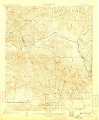
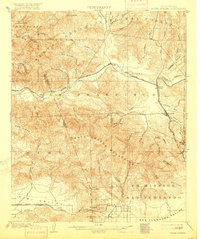
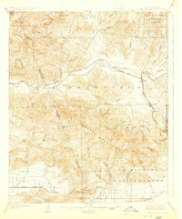
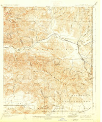
1903 Map of Santa Susana
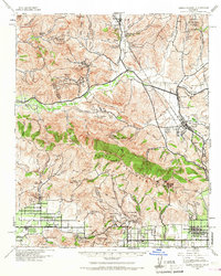
USGS Topo · Published 1948About this map
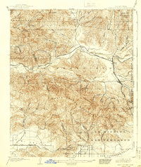
The Santa Clara River corridor serves as the primary artery for transport and settlement in this early twentieth-century survey, where the Southern Pacific railroad lines converge at the junction of Saugus. The landscape is defined by the steep topography of the Santa Susana Mountains and Oak Ridge, separating the northern canyons from the developing agricultural reaches of the Simi Valley and San Fernando Valley. To the south, the massive historic land grant of Ex Mission San Fernando is clearly delineated, while engineering feats of the era are visible in the construction of the Santa Susana Tunnel and the secondary Tunnel near San Fernando Pass. From the settlement of Newhall to the remote reaches of the Angeles National Forest, the map captures a transition from canyon ranching and rail infrastructure to more established valley townsites.
Find a feature on this map
65 named features on this map. Tap any name to fly to it.
Don’t see what you’re looking for? This feature index may not catch every label — zoom into the map to look around manually.
Map Details
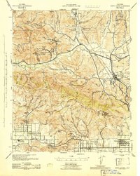
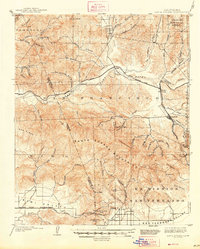
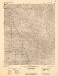
Editions of this 1903 Santa Susana Map
8 editions found

Historical Maps of Los Angeles Through Time
3 maps found