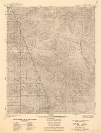
1903 Map of Santa Susana
USGS Topo · Published 1939About this map
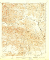
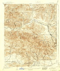
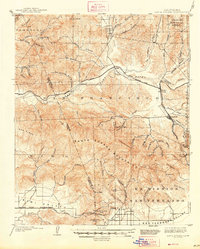
The Santa Susana Mountains and the upper reaches of the San Fernando Valley define this landscape as it was surveyed at the dawn of the twentieth century. This was a critical corridor for Southern California’s transit, as shown by the Southern Pacific railroad winding through the valley floor to reach the Santa Susana Pass Tunnel and the San Fernando Pass Tunnel. Early settlements such as Newhall, Saugus, and Delvalle are situated near the Santa Clara River, serving as hubs in a region dominated by deep canyons like San Francisquito Canyon and Bouquet Canyon. The map reveals a transition from the developing towns in the valley to the protected wilderness of the Angeles National Forest. Land divisions like the Ex Mission boundary and various named peaks, including Mission Pt and Dewitt Peak, provide essential landmarks for tracing original ranch and township lines before mid-century suburban expansion.
Find a feature on this map
62 named features on this map. Tap any name to fly to it.
Don’t see what you’re looking for? This feature index may not catch every label — zoom into the map to look around manually.
Map Details
Editions of this 1903 Santa Susana Map
8 editions found

Other maps of this area

1894 · Los Angeles
USGS Topo · 1:62,500

1896 · Santa Monica
USGS Topo · 1:62,500

1898 · Santa Monica
USGS Topo · 1:62,500

1900 · Los Angeles
USGS Topo · 1:62,500

1900 · Fernando
USGS Topo · 1:62,500

1900 · Triunfo Pass
USGS Topo · 1:62,500

1900 · Piru
USGS Topo · 1:62,500

1901 · Southern California Sheet No. 1
USGS Topo · 1:250,000

1902 · Santa Monica
USGS Topo · 1:62,500

1903 · Calabasas
USGS Topo · 1:62,500