
1902 Map of Santa Monica
USGS Topo · Published 1902About this map
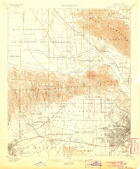
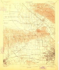
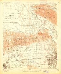
Large Mexican land grant boundaries still define the Los Angeles basin in this 1902 survey, where names like Rodeo de las Aguas and San Jose de Buenos Ayres dominate the geography before modern subdivision. The Santa Monica Mountains are deeply etched with named canyons such as Sepulveda Canyon and Franklin Canyon, descending toward the developing coastal settlement at Santa Monica. To the east, the early footprint of Hollywood and Colegrove sits at the foot of the hills, while the Los Angeles River flows through the Providencia rancho land. Significant infrastructure of the era is visible, including the Soldiers Home near the mountains and the University campus to the south. Rail lines like the Southern Pacific R. R. and the Santa Monica Br. provide the primary transport framework connecting inland towns like Burbank and Tropico to the Pacific coast.
Find a feature on this map
85 named features on this map. Tap any name to fly to it.
Don’t see what you’re looking for? This feature index may not catch every label — zoom into the map to look around manually.
Map Details
Editions of this 1902 Santa Monica Map
4 editions found
Other maps of this area

1894 · Los Angeles
USGS Topo · 1:62,500

1896 · Pasadena
USGS Topo · 1:62,500

1896 · Redondo
USGS Topo · 1:62,500

1896 · Santa Monica
USGS Topo · 1:62,500

1896 · Downey
USGS Topo · 1:62,500

1898 · Santa Monica
USGS Topo · 1:62,500

1899 · Downey
USGS Topo · 1:62,500

1900 · Pasadena
USGS Topo · 1:62,500

1900 · Tujunga
USGS Topo · 1:62,500

1900 · Los Angeles
USGS Topo · 1:62,500