
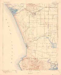
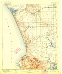
1896 Map of Redondo
USGS Topo · Published 1896About this map
The coastal shelf of Southern California appears here in its late nineteenth-century configuration, defined by sprawling ranchos and emerging rail-dependent settlements. Sausal Redondo and La Ballona dominate the landscape, while the Atchison Topeka and Santa Fe R. R. connects the developing hub of Inglewood to the coast. At the southern edge, the Los Palos Verdes San Pedro Hills rise sharply above the Pacific, overlooking a complex of coastal wetlands including the Wilmington Lagoon and the tidal reaches of Nigger Slough. This survey captures the region just as the pastoral era was yielding to residential and industrial growth. Notable landmarks of the previous decades, such as the Drum Barracks in Wilmington, remain prominent, while newer points like Port Ballona and Redondo indicate the growing importance of maritime commerce and recreation along the bay.
Find a feature on this map
46 named features on this map. Tap any name to fly to it.
Don’t see what you’re looking for? This feature index may not catch every label — zoom into the map to look around manually.
Map Details
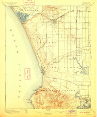
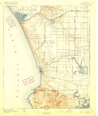
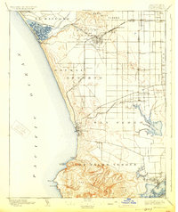
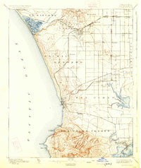
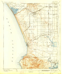
Editions of this 1896 Redondo Map
9 editions found
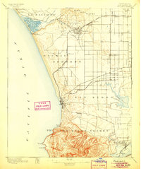
Other maps of this area

1894 · Los Angeles
USGS Topo · 1:62,500

1896 · Pasadena
USGS Topo · 1:62,500

1896 · Las Bolsas
USGS Topo · 1:62,500

1896 · Santa Monica
USGS Topo · 1:62,500

1896 · San Pedro
USGS Topo · 1:62,500

1896 · Downey
USGS Topo · 1:62,500

1898 · Santa Monica
USGS Topo · 1:62,500

1899 · Downey
USGS Topo · 1:62,500

1900 · Pasadena
USGS Topo · 1:62,500

1900 · Los Angeles
USGS Topo · 1:62,500