
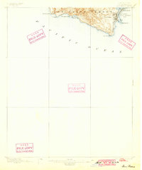
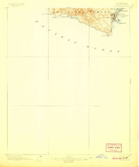
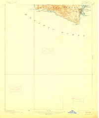
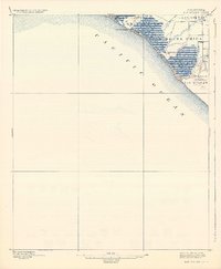
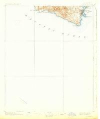
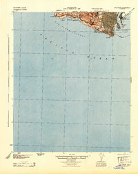
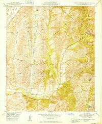
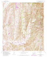
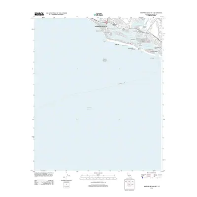
1896 Map of San Pedro
USGS Topo · Published 1896About this map
Los Palos Verdes rises sharply from the Pacific Ocean in this late nineteenth-century survey, revealing a landscape defined by its maritime geography and early rail infrastructure. The coastal settlement of San Pedro is situated near the bustling San Pedro Bay, serving as a critical terminal point for the S. P. R. R. (San Pedro Branch). Across the narrow channel, East San Pedro and the L. A. Terminal R. R. occupy the low-lying reaches of Rattlesnake Id., illustrating the early industrial development of the harbor before modern dredging and reclamation efforts reshaped the shoreline.
Find a feature on this map
18 named features on this map. Tap any name to fly to it.
Don’t see what you’re looking for? This feature index may not catch every label — zoom into the map to look around manually.
Map Details
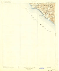
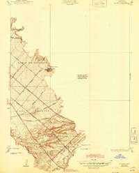
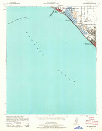
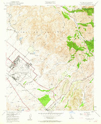
Editions of this 1896 San Pedro Map
5 editions found
Historical Maps of Los Angeles Through Time
44 maps found
1896 Las Bolsas
Orange County, CA
1896 San Pedro
Orange County, CA
1902 Capistrano
Orange County, CA

1906 Capistrano
Orange County, CA
1935 El Toro
Orange County, CA

1935 Olinda
Orange County, CA
1941 Las Bolsas
Orange County, CA
1942 Santiago Peak
Orange County, CA

1943 Las Bolsas
Orange County, CA
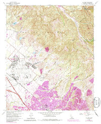
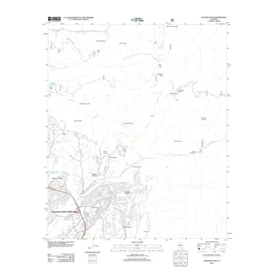
1944 San Pedro
Orange County, CA
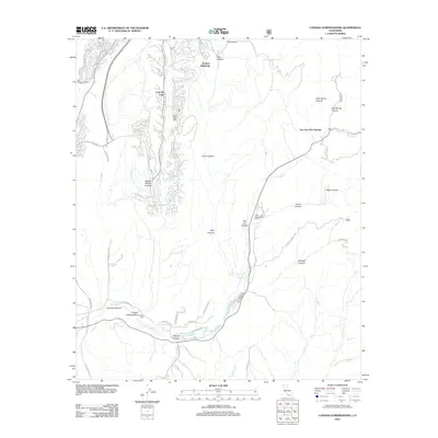
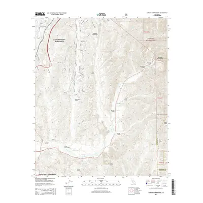
1948 Canada Gobernadora
Orange County, CA
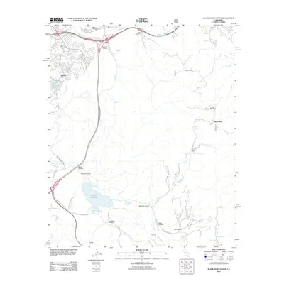
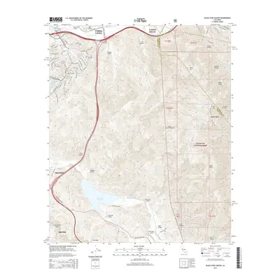
1949 Black Star Canyon
Orange County, CA
1949 Canada Gobernadora
Orange County, CA
1949 El Toro
Orange County, CA

1950 Black Star Canyon
Orange County, CA

1950 El Toro
Orange County, CA
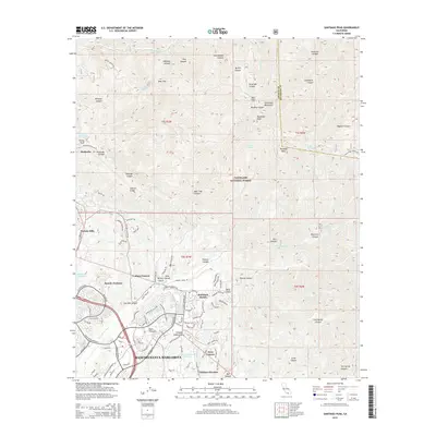
1954 Santiago Peak
Orange County, CA
1967 Black Star Canyon
Orange County, CA
1968 Canada Gobernadora
Orange County, CA
1968 El Toro
Orange County, CA

1974 Black Star Canyon
Orange County, CA

1974 Canada Gobernadora
Orange County, CA

1974 El Toro
Orange County, CA

1974 Santiago Peak
Orange County, CA
1997 Black Star Canyon
Orange County, CA

1997 Canada Gobernadora
Orange County, CA

1997 El Toro
Orange County, CA
1997 Santiago Peak
Orange County, CA
2012 Black Star Canyon
Orange County, CA
2012 Canada Gobernadora
Orange County, CA
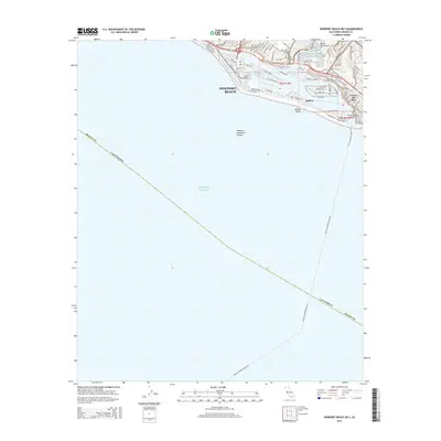
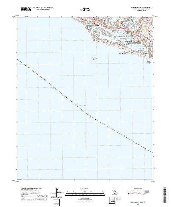
2012 Newport Beach OE S
Orange County, CA
2012 Santiago Peak
Orange County, CA
2015 Black Star Canyon
Orange County, CA
2015 Canada Gobernadora
Orange County, CA
2015 Newport Beach OE S
Orange County, CA
2015 Santiago Peak
Orange County, CA
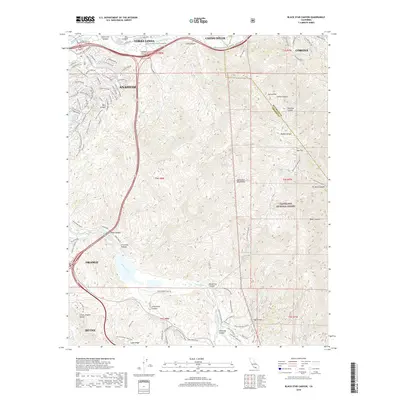
2018 Black Star Canyon
Orange County, CA
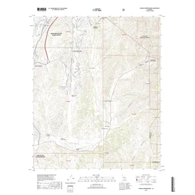
2018 Canada Gobernadora
Orange County, CA
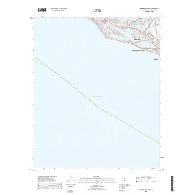
2018 Newport Beach OE S
Orange County, CA
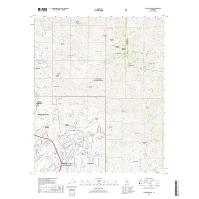
2018 Santiago Peak
Orange County, CA
2021 Newport Beach OE S
Orange County, CA
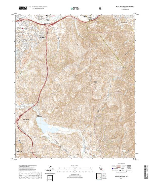
2022 Black Star Canyon
Orange County, CA
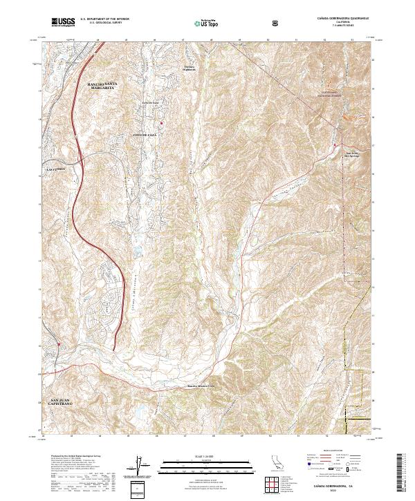
2022 Canada Gobernadora
Orange County, CA
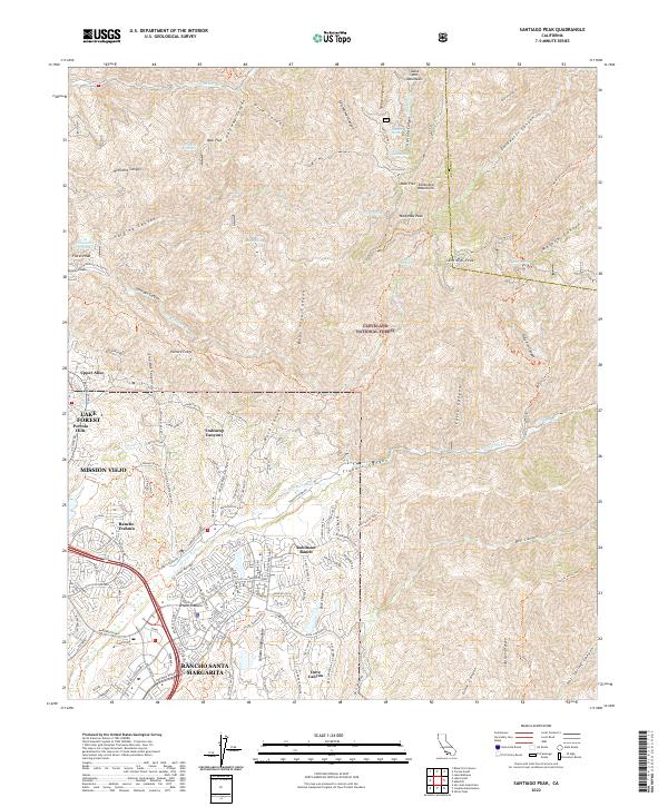
2022 Santiago Peak
Orange County, CA
Featured Locations
- Rancho Palos Verdes, CA
- La Rambla, CA
- Rolling Hills, CA
- Los Angeles, CA
- Portuguese Bend, Rancho Palos Verdes