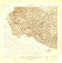
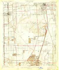
1925 Map of San Pedro Hills
USGS Topo · Published 1925About this map
The San Pedro Hills rise sharply above the Pacific in this 1925 survey, documenting the peninsula's landscape before the extensive residential development of later decades. This advance sheet, which includes topography by T.H. Moncure, highlights the transition between the rugged coastline at Portuguese Bend and the developing urban grid of San Pedro to the east. The map captures an era when the Palos Verdes Club and the San Pedro Golf Course were prominent landmarks on a peninsula still defined largely by its dramatic natural contours and coastal points like Point Vincente and Whites Point. Early transit corridors, including Western Ave and the Redondo and Wilmington Blvd, provide a glimpse into the regional infrastructure connecting Walteria and Harbor City to the surrounding Los Angeles basin during the mid-1920s.
Find a feature on this map
25 named features on this map. Tap any name to fly to it.
Don’t see what you’re looking for? This feature index may not catch every label — zoom into the map to look around manually.
Map Details
Editions of this 1925 San Pedro Hills Map
This is the sole edition of this map. No revisions or reprints were ever made.
Other maps of this area

1896 · Redondo
USGS Topo · 1:62,500

1896 · San Pedro
USGS Topo · 1:62,500

1901 · Southern California Sheet No. 1
USGS Topo · 1:250,000

1904 · Southern California Sheet No. 1
USGS Topo · 1:250,000

1923 · Wilmington
USGS Topo · 1:24,000

1924 · Torrance
USGS Topo · 1:24,000
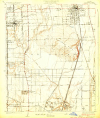
1924 · Compton
USGS Topo · 1:24,000
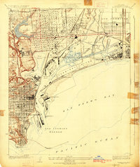
1925 · Wilmington
USGS Topo · 1:24,000
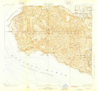
1928 · San Pedro Hills
USGS Topo · 1:24,000
1930 · Compton
USGS Topo · 1:24,000