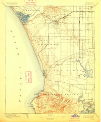
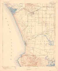
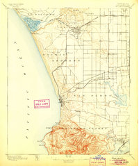
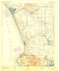
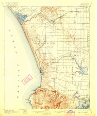
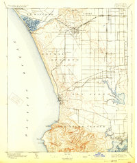
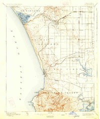
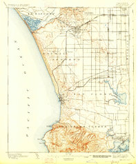
1896 Map of Redondo
USGS Topo · Published 1910About this map
Redondo and the surrounding South Bay landscape appear here as a network of early settlements and sprawling ranchos during the late nineteenth century. The coast is defined by significant wetlands and lagoons, such as Ballona Lagoon and the Wilmington Lagoon near the southern shore. Inland, the terrain is shaped by broad land grants including Sausal Redondo and Aguaje de la Centinela, where emerging towns like Inglewood and Gardena are connected by the Redondo Branch and the Atchison Topeka and Santa Fe R. R. railroads. Near the harbor at Wilmington, the presence of the Drum Barracks highlights the area's strategic importance. This survey documents the transition of the Los Angeles basin from open grazing lands to a structured agricultural and coastal economy, long before the intensive industrialization and residential development of the mid-twentieth century.
Find a feature on this map
49 named features on this map. Tap any name to fly to it.
Don’t see what you’re looking for? This feature index may not catch every label — zoom into the map to look around manually.
Map Details
Editions of this 1896 Redondo Map
9 editions found
Other maps of this area

1894 · Los Angeles
USGS Topo · 1:62,500

1896 · Pasadena
USGS Topo · 1:62,500

1896 · Redondo
USGS Topo · 1:62,500

1896 · Las Bolsas
USGS Topo · 1:62,500

1896 · Santa Monica
USGS Topo · 1:62,500

1896 · San Pedro
USGS Topo · 1:62,500

1896 · Downey
USGS Topo · 1:62,500

1898 · Santa Monica
USGS Topo · 1:62,500

1899 · Downey
USGS Topo · 1:62,500

1900 · Pasadena
USGS Topo · 1:62,500