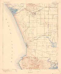
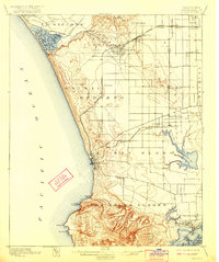
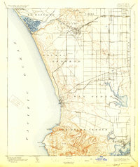
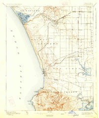
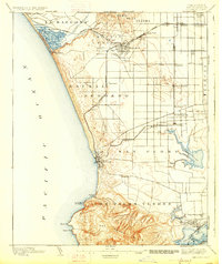
1896 Map of Redondo
USGS Topo · Published 1899About this map
The San Pedro Hills rise sharply from the coastline of this late-nineteenth-century survey, anchoring a landscape where Spanish land grant identities like Sausal Redondo and Los Palos Verdes still define the geography. The coastal settlement of Redondo serves as a primary hub, connected by the Redondo RR. and the Redondo Branch to inland towns such as Gardena and Inglewood. Evidence of the region's military and maritime history is found at the Drum Barracks and Wilmington Lagoon near Wilmington, while Port Ballona and the Ballona Lagoon mark the northern shore. The interior reveals a grid of emerging agricultural and residential pockets, including Strawberry Park and Green Meadows, alongside large natural features like Nigger Slough and Bixby Slough that once dominated the low-lying plains.
Find a feature on this map
52 named features on this map. Tap any name to fly to it.
Don’t see what you’re looking for? This feature index may not catch every label — zoom into the map to look around manually.
Map Details
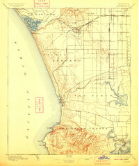
Editions of this 1896 Redondo Map
9 editions found
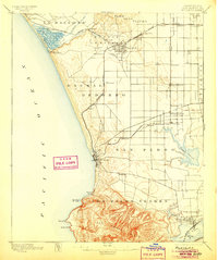
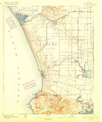
Other maps of this area

1894 · Los Angeles
USGS Topo · 1:62,500

1896 · Pasadena
USGS Topo · 1:62,500

1896 · Redondo
USGS Topo · 1:62,500

1896 · Las Bolsas
USGS Topo · 1:62,500

1896 · Santa Monica
USGS Topo · 1:62,500

1896 · San Pedro
USGS Topo · 1:62,500

1896 · Downey
USGS Topo · 1:62,500

1898 · Santa Monica
USGS Topo · 1:62,500

1899 · Downey
USGS Topo · 1:62,500

1900 · Pasadena
USGS Topo · 1:62,500