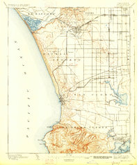
1896 Map of Redondo
USGS Topo · Published 1927About this map
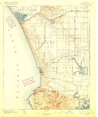
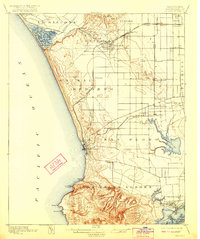
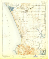
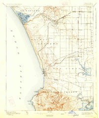
Los Palos Verdes Hills dominate the southern coastline of this survey, rising sharply above the coastal plain before the massive suburban development of the twentieth century. The landscape is a network of Spanish-named ranchos and emerging railway settlements, with the Atchison Topeka and Santa Fe and the L. A. Terminal R. R. driving growth toward the coast. Coastal activity centers on Port Ballona and the resort town of Redondo, while the interior shows early nodes like Inglewood and Gardena as distinct rail-stop communities. To the southeast, the maritime geography around Wilmington is visible in its early form, featuring the Wilmington Lagoon and the military landmark Drum Barracks. The map preserves the original drainage patterns of the region, including the expansive Nigger Slough and Ballona Creek, before modern channelization and land reclamation reshaped the Los Angeles basin.
Find a feature on this map
48 named features on this map. Tap any name to fly to it.
Don’t see what you’re looking for? This feature index may not catch every label — zoom into the map to look around manually.
Map Details
Editions of this 1896 Redondo Map
9 editions found
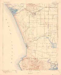
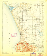
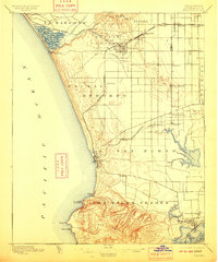
Other maps of this area

1894 · Los Angeles
USGS Topo · 1:62,500

1896 · Pasadena
USGS Topo · 1:62,500

1896 · Redondo
USGS Topo · 1:62,500

1896 · Las Bolsas
USGS Topo · 1:62,500

1896 · Santa Monica
USGS Topo · 1:62,500

1896 · San Pedro
USGS Topo · 1:62,500

1896 · Downey
USGS Topo · 1:62,500

1898 · Santa Monica
USGS Topo · 1:62,500

1899 · Downey
USGS Topo · 1:62,500

1900 · Pasadena
USGS Topo · 1:62,500