
1900 Map of Pasadena
USGS Topo · Published 1900About this map
Pasadena sits at the heart of this survey, surrounded by the developing ranchos and early suburbs of the San Gabriel Valley at the turn of the century. The map reveals a transition from a mountainous wilderness to an interconnected agricultural and residential corridor, dominated by the peaks of the San Gabriel Timber Land Reserve. A sophisticated network of early transport defines the landscape, including the Atchison Topeka and Santa Fe R. R. and the Terminal R. R., which linked early outposts like South Pasadena and Altadena to the growing city of Los Angeles.
Find a feature on this map
117 named features on this map. Tap any name to fly to it.
Don’t see what you’re looking for? This feature index may not catch every label — zoom into the map to look around manually.
Map Details
Editions of this 1900 Pasadena Map
10 editions found
1900 edition
16.6 x 19.8 inches

1900 edition
17.74 x 21.41 inches
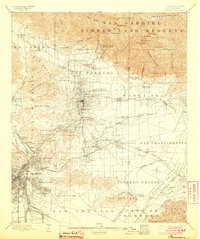
1904 edition
16.6 x 19.8 inches
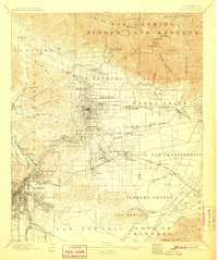
1907 edition
16.6 x 19.8 inches
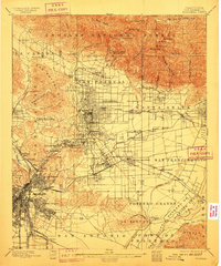
1910 edition
16.6 x 19.9 inches
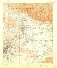
1913 edition
16.7 x 19.8 inches
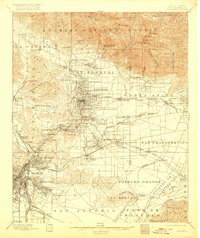
1920 edition
16.6 x 19.7 inches
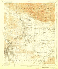
1927 edition
16.6 x 19.8 inches
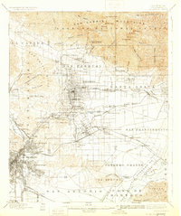
1931 edition
16.6 x 19.8 inches
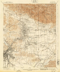
1940 edition
16.6 x 19.8 inches
Other maps of this area

1894 · Los Angeles
USGS Topo · 1:62,500

1894 · Pomona
USGS Topo · 1:62,500

1896 · Pasadena
USGS Topo · 1:62,500

1896 · Anaheim
USGS Topo · 1:62,500

1896 · Redondo
USGS Topo · 1:62,500

1896 · Santa Monica
USGS Topo · 1:62,500

1896 · Downey
USGS Topo · 1:62,500

1897 · Pomona
USGS Topo · 1:62,500

1898 · Pomona
USGS Topo · 1:62,500

1898 · Santa Monica
USGS Topo · 1:62,500