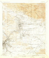
1900 Map of Pasadena
USGS Topo · Published 1931About this map
San Pasqual and Pasadena anchor this turn-of-the-century landscape, a time when the San Gabriel Valley was defined by citrus groves and high-altitude tourism. The peaks of the San Gabriel National Forest dominate the north, featuring notable destinations like Mt. Lowe Hotel and Martins Camp near Mt. Wilson. The lowland plains are a network of early rail lines including the Atchison Topeka and Santa Fe and the Southern Pacific, connecting established settlements like Sierra Madre, Monrovia, and Arcadia.
Find a feature on this map
107 named features on this map. Tap any name to fly to it.
Don’t see what you’re looking for? This feature index may not catch every label — zoom into the map to look around manually.
Map Details
Editions of this 1900 Pasadena Map
10 editions found

1900 edition
16.6 x 19.8 inches

1900 edition
17.74 x 21.41 inches
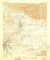
1904 edition
16.6 x 19.8 inches
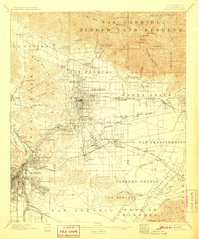
1907 edition
16.6 x 19.8 inches
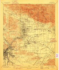
1910 edition
16.6 x 19.9 inches
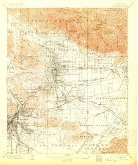
1913 edition
16.7 x 19.8 inches
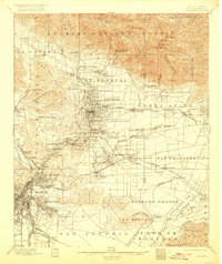
1920 edition
16.6 x 19.7 inches
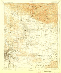
1927 edition
16.6 x 19.8 inches
1931 edition
16.6 x 19.8 inches
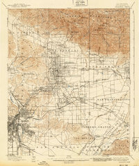
1940 edition
16.6 x 19.8 inches
Other maps of this area

1894 · Los Angeles
USGS Topo · 1:62,500

1894 · Pomona
USGS Topo · 1:62,500

1896 · Pasadena
USGS Topo · 1:62,500

1896 · Anaheim
USGS Topo · 1:62,500

1896 · Redondo
USGS Topo · 1:62,500

1896 · Santa Monica
USGS Topo · 1:62,500

1896 · Downey
USGS Topo · 1:62,500

1897 · Pomona
USGS Topo · 1:62,500

1898 · Pomona
USGS Topo · 1:62,500

1898 · Santa Monica
USGS Topo · 1:62,500