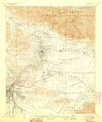
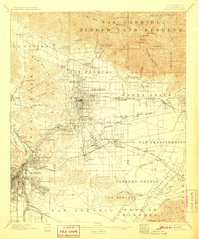
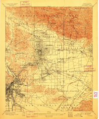
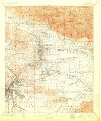
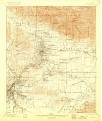
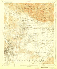
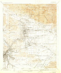
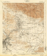
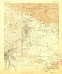
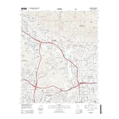
1900 Map of Pasadena
USGS Topo · Published 1904About this map
The San Gabriel Timber Land Reserve dominates the northern landscape of this turn-of-the-century survey, towering over the burgeoning agricultural and residential valleys below. A complex network of transit defines the region's growth, with the Terminal R. R. and the Atchison Topeka and Santa Fe R. R. connecting Pasadena and Glendale to the expanding city of East Los Angeles. Early tourism in the mountains is evident at high-altitude retreats like the Mt. Lowe Hotel and Martins Camp, accessible via steep canyon routes near Echo Mountain.
Find a feature on this map
120 named features on this map. Tap any name to fly to it.
Don’t see what you’re looking for? This feature index may not catch every label — zoom into the map to look around manually.
Map Details
Editions of this 1900 Pasadena Map
10 editions found

1900 edition
16.6 x 19.8 inches

1900 edition
17.74 x 21.41 inches
1904 edition
16.6 x 19.8 inches
1907 edition
16.6 x 19.8 inches
1910 edition
16.6 x 19.9 inches
1913 edition
16.7 x 19.8 inches
1920 edition
16.6 x 19.7 inches
1927 edition
16.6 x 19.8 inches
1931 edition
16.6 x 19.8 inches
1940 edition
16.6 x 19.8 inches
Historical Maps of Los Angeles Through Time
9 maps found
1896 Pasadena
Los Angeles County, CA
1900 Pasadena
Los Angeles County, CA

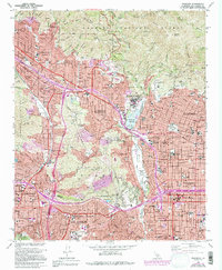
1953 Pasadena
Los Angeles County, CA
1966 Pasadena
Los Angeles County, CA
1995 Pasadena
Los Angeles County, CA
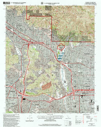
2012 Pasadena
Los Angeles County, CA
2015 Pasadena
Los Angeles County, CA
2018 Pasadena
Los Angeles County, CA
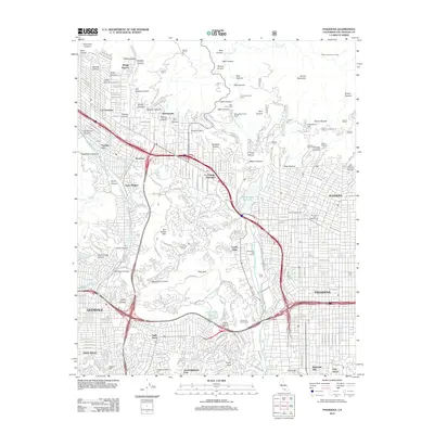
2022 Pasadena
Los Angeles County, CA