
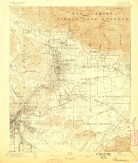
1900 Map of Pasadena
USGS Topo · Published 1900About this map
The San Gabriel Mountains tower over the emerging settlements of the San Gabriel Valley in this late-19th-century survey. While Pasadena is already established with a grid of California Street and surrounding neighborhoods like Olive Wood and Oak Knoll, the landscape still reflects its mission and rancho roots, anchored by the historic Mission San Gabriel. The era's burgeoning tourism industry is visible in the prominent placement of luxury destinations such as the Raymond Hotel, the Sierra Madre Hotel, and the Mt. Lowe Hotel, the latter perched high in the mountains near Echo Mountain.
Find a feature on this map
116 named features on this map. Tap any name to fly to it.
Don’t see what you’re looking for? This feature index may not catch every label — zoom into the map to look around manually.
Map Details
Editions of this 1900 Pasadena Map
10 editions found

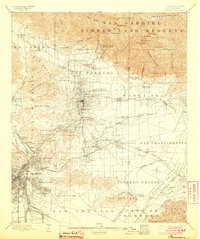
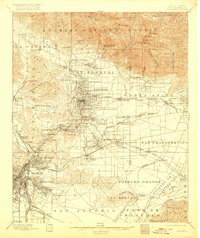
1900 edition
16.6 x 19.8 inches
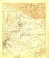
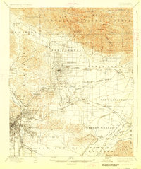
1900 edition
17.74 x 21.41 inches
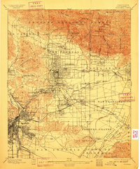
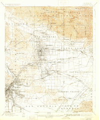
1904 edition
16.6 x 19.8 inches
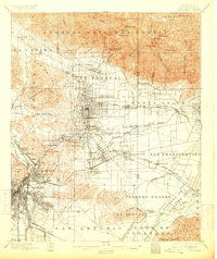
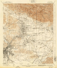
1907 edition
16.6 x 19.8 inches
1910 edition
16.6 x 19.9 inches
1913 edition
16.7 x 19.8 inches
1920 edition
16.6 x 19.7 inches
1927 edition
16.6 x 19.8 inches
1931 edition
16.6 x 19.8 inches
1940 edition
16.6 x 19.8 inches
Historical Maps of Los Angeles Through Time
9 maps found
1896 Pasadena
Los Angeles County, CA
1900 Pasadena
Los Angeles County, CA

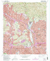
1953 Pasadena
Los Angeles County, CA
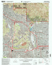
1966 Pasadena
Los Angeles County, CA
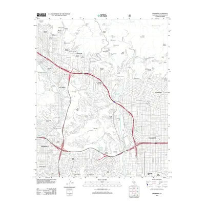
1995 Pasadena
Los Angeles County, CA
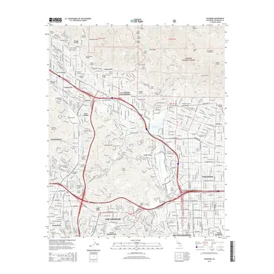
2012 Pasadena
Los Angeles County, CA
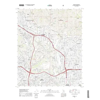
2015 Pasadena
Los Angeles County, CA
2018 Pasadena
Los Angeles County, CA
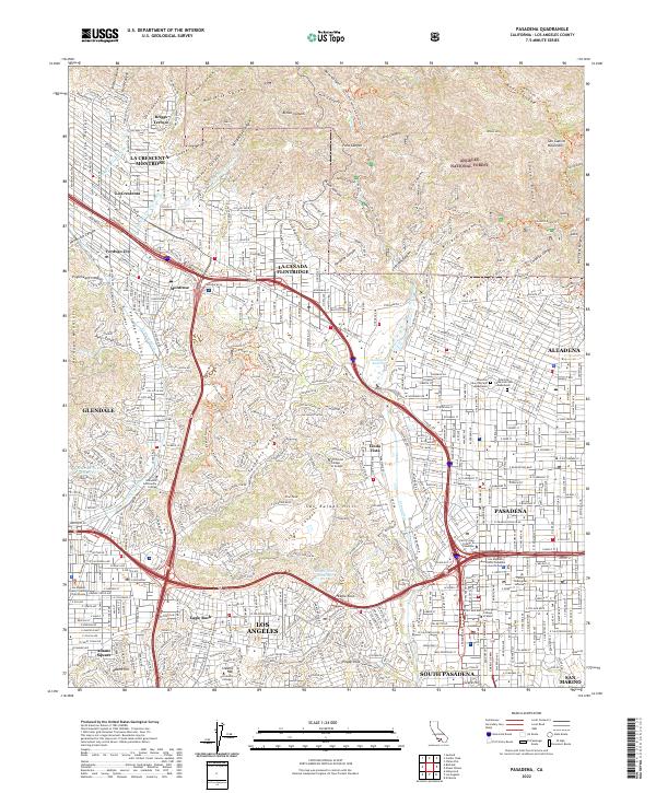
2022 Pasadena
Los Angeles County, CA