
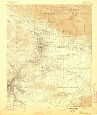
1896 Map of Pasadena
USGS Topo · Published 1896About this map
The San Gabriel Timber Land Reserve dominates the northern landscape of this survey, reflecting the early conservation efforts that preceded the modern national forest system. At the mountain front, a sophisticated late-nineteenth-century resort economy is visible, anchored by the Mt. Lowe Hotel and Sierra Madre Hotel. In the valley below, the grid of Pasadena expands toward the Arroyo Seco, while the historic Mission near San Gabriel remains a focal point of the older Spanish-Mexican landscape.
Find a feature on this map
112 named features on this map. Tap any name to fly to it.
Don’t see what you’re looking for? This feature index may not catch every label — zoom into the map to look around manually.
Map Details
Editions of this 1896 Pasadena Map
2 editions found
Other maps of this area

1894 · Los Angeles
USGS Topo · 1:62,500

1894 · Pomona
USGS Topo · 1:62,500

1896 · Anaheim
USGS Topo · 1:62,500

1896 · Redondo
USGS Topo · 1:62,500

1896 · Santa Monica
USGS Topo · 1:62,500

1896 · Downey
USGS Topo · 1:62,500

1897 · Pomona
USGS Topo · 1:62,500

1898 · Pomona
USGS Topo · 1:62,500

1898 · Santa Monica
USGS Topo · 1:62,500

1898 · Anaheim
USGS Topo · 1:62,500