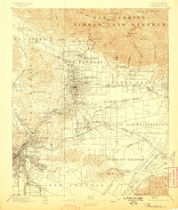
1896 Map of Pasadena
USGS Topo · Published 1898About this map
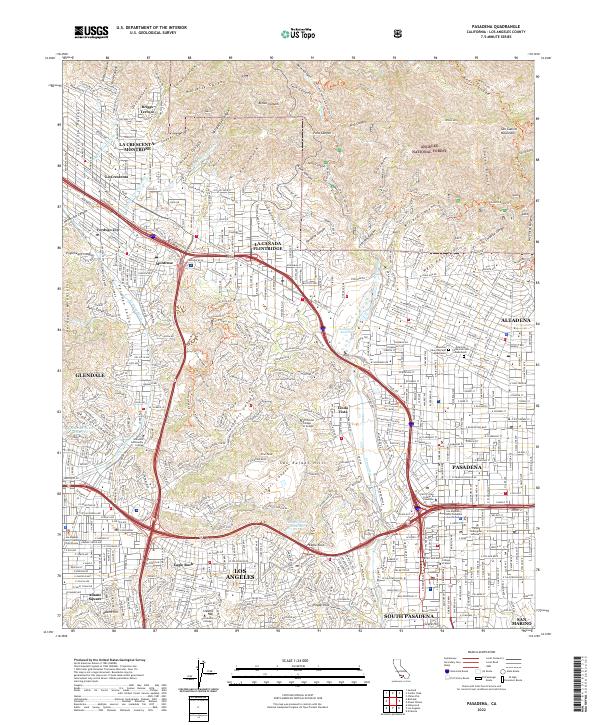
Pasadena serves as the central hub of this late 19th-century landscape, surrounded by an intricate web of early rail lines including the Los Angeles Terminal R. R. and the Southern Pacific R. R. The map documents a period when grand resort hotels such as the Mt. Lowe Hotel, Raymond Hotel, and Sierra Madre Hotel anchored the region's burgeoning identity. Beyond the city centers, the terrain transitions into the steep slopes of the San Gabriel Timber Land Reserve, where peaks like Mt. Lowe and Mt. Wilson overlook the developing valley.
Find a feature on this map
113 named features on this map. Tap any name to fly to it.
Don’t see what you’re looking for? This feature index may not catch every label — zoom into the map to look around manually.
Map Details
Editions of this 1896 Pasadena Map
2 editions found

Historical Maps of Los Angeles Through Time
9 maps found
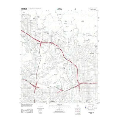
1896 Pasadena
Los Angeles County, CA
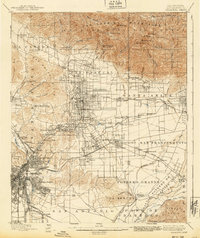
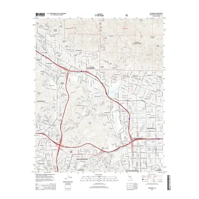
1900 Pasadena
Los Angeles County, CA

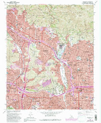
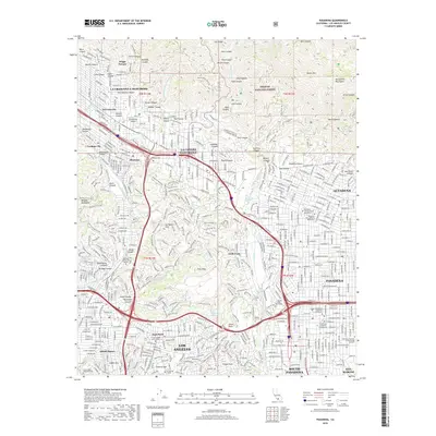
1953 Pasadena
Los Angeles County, CA
1966 Pasadena
Los Angeles County, CA
1995 Pasadena
Los Angeles County, CA
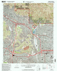
2012 Pasadena
Los Angeles County, CA
2015 Pasadena
Los Angeles County, CA
2018 Pasadena
Los Angeles County, CA
2022 Pasadena
Los Angeles County, CA