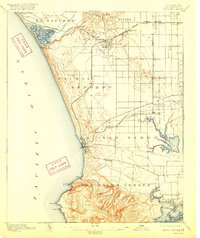
1896 Map of Redondo
USGS Topo · Published 1926About this map
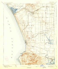
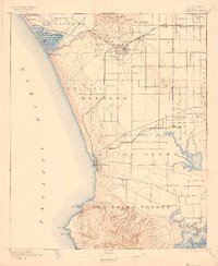
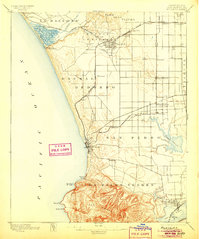
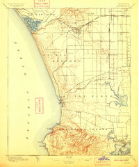
Redondo serves as a focal point along this late 19th-century coastline, where the landscape is defined by vast ranchos and an emerging rail network. The terrain transitions from the salt marshes of Wilmington Lagoon and Bixby Slough in the south to the uplands of San Pedro Hills. This era captures the region before the massive harbor developments of the 20th century, showing early coastal settlements like South Santa Monica and Machado near Ballona Creek.
Find a feature on this map
51 named features on this map. Tap any name to fly to it.
Don’t see what you’re looking for? This feature index may not catch every label — zoom into the map to look around manually.
Map Details
Editions of this 1896 Redondo Map
9 editions found
Other maps of this area

1894 · Los Angeles
USGS Topo · 1:62,500

1896 · Pasadena
USGS Topo · 1:62,500

1896 · Redondo
USGS Topo · 1:62,500

1896 · Las Bolsas
USGS Topo · 1:62,500

1896 · Santa Monica
USGS Topo · 1:62,500

1896 · San Pedro
USGS Topo · 1:62,500

1896 · Downey
USGS Topo · 1:62,500

1898 · Santa Monica
USGS Topo · 1:62,500

1899 · Downey
USGS Topo · 1:62,500

1900 · Pasadena
USGS Topo · 1:62,500