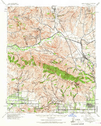
1941 Map of Santa Susana
USGS Topo · Published 1967About this map
The Santa Susana Mountains dominate this 1941 landscape, a rugged divide separating the agricultural and growing residential basins of the Santa Susana Valley and San Fernando Valley from the canyon-cut hills to the north. Extensive petroleum development is evident throughout the terrain, with operations at the Pico Oil Field, Oak Canyon Oil Field, and Newhall-Potrero Oil Field signaling the region's mid-century industrial base.
Find a feature on this map
88 named features on this map. Tap any name to fly to it.
Don’t see what you’re looking for? This feature index may not catch every label — zoom into the map to look around manually.
Map Details
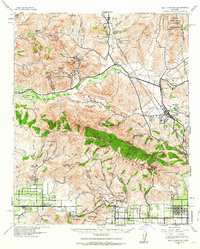
Editions of this 1941 Santa Susana Map
2 editions found
Other maps of this area

1894 · Los Angeles
USGS Topo · 1:62,500

1896 · Santa Monica
USGS Topo · 1:62,500

1898 · Santa Monica
USGS Topo · 1:62,500

1900 · Los Angeles
USGS Topo · 1:62,500

1900 · Fernando
USGS Topo · 1:62,500

1900 · Triunfo Pass
USGS Topo · 1:62,500

1900 · Piru
USGS Topo · 1:62,500

1901 · Southern California Sheet No. 1
USGS Topo · 1:250,000

1902 · Santa Monica
USGS Topo · 1:62,500

1903 · Calabasas
USGS Topo · 1:62,500