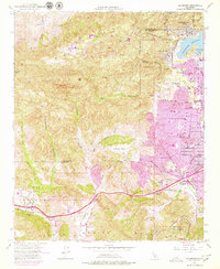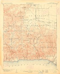
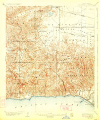
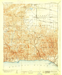
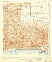
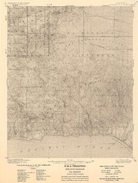
1903 Map of Calabasas
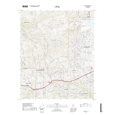
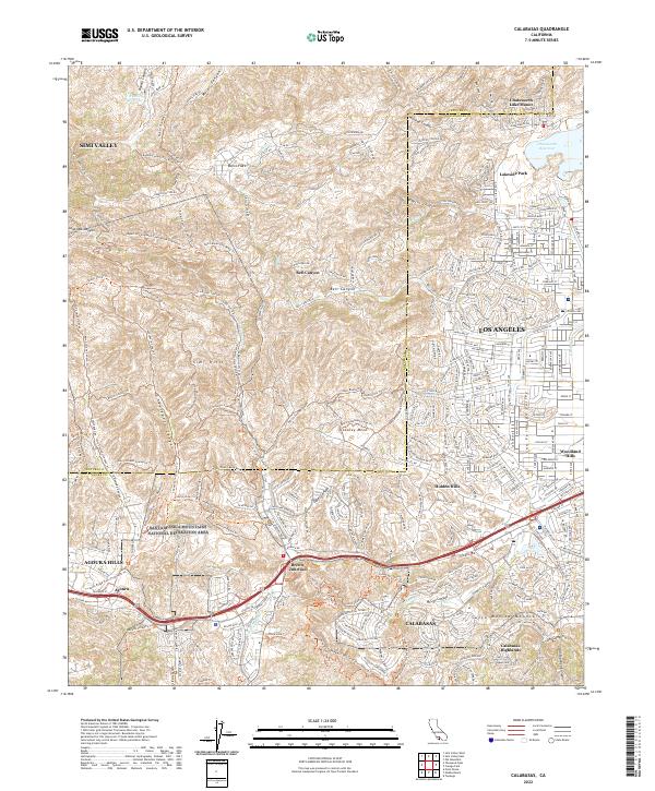
USGS Topo · Published 1913About this map
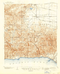
The Santa Monica Mountains and the western edge of the Ex Mission San Fernando Valley are documented here during a period of early ranching and rail expansion. Surveyed by R.B. Marshall and W.S. Post, this landscape transitions from the coastal bluffs of Santa Monica Bay up through deep drainages like Topanga Canyon and Malibu Creek. In the valley to the north, the Southern Pacific railroad and its Chatsworth Park Branch connect emerging settlements at Chatsworth and Canoga. This was an era before the suburbanization of the region, where places like Calabasas and Encino appear as small hubs within larger Mexican land grant divisions such as Escorpion and Boca de Santa Monica. Coastal activity is centered on Port Los Angeles, located near the mouth of Santa Ynez Canyon, providing a look at the littoral economy at the turn of the century.
Find a feature on this map
58 named features on this map. Tap any name to fly to it.
Don’t see what you’re looking for? This feature index may not catch every label — zoom into the map to look around manually.
Map Details
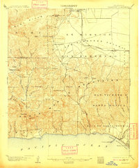
Editions of this 1903 Calabasas Map
8 editions found

Historical Maps of Los Angeles Through Time
8 maps found