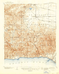
1903 Map of Calabasas
USGS Topo · Published 1947About this map
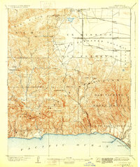
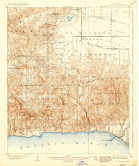
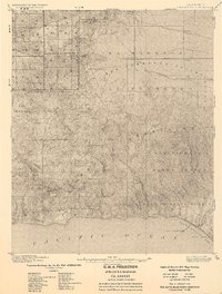
San Fernando Valley agricultural lands and the heights of the Santa Monica Mountains meet in this turn-of-the-century landscape. This survey documents early ranching and rail infrastructure long before the mid-century suburban boom, showing the Southern Pacific and the Pacific Electric lines reaching into the valley to serve young settlements like Owensmouth and Zelzah. To the south, the terrain breaks sharply towards the Pacific Ocean, where Port Los Angeles sits as a primary maritime hub on Santa Monica Bay near Santa Monica. Interior canyons such as Bell Canyon, Cheeseboro Canyon, and Las Virgenes Canyon remain sparsely settled, while the Arroyo Calabasas winds near the small outpost of Calabasas. This area, divided by the San Bernardino Base Line, shows the early geographic organization of the region through large land grants like Las Virgenes and Boca De Santa Monica.
Find a feature on this map
55 named features on this map. Tap any name to fly to it.
Don’t see what you’re looking for? This feature index may not catch every label — zoom into the map to look around manually.
Map Details
Editions of this 1903 Calabasas Map
8 editions found

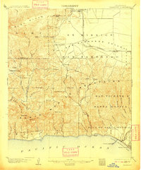
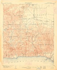
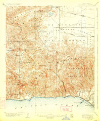
Other maps of this area

1894 · Los Angeles
USGS Topo · 1:62,500

1896 · Redondo
USGS Topo · 1:62,500

1896 · Santa Monica
USGS Topo · 1:62,500

1898 · Santa Monica
USGS Topo · 1:62,500

1900 · Los Angeles
USGS Topo · 1:62,500

1900 · Fernando
USGS Topo · 1:62,500

1900 · Triunfo Pass
USGS Topo · 1:62,500

1900 · Piru
USGS Topo · 1:62,500

1901 · Southern California Sheet No. 1
USGS Topo · 1:250,000

1902 · Santa Monica
USGS Topo · 1:62,500