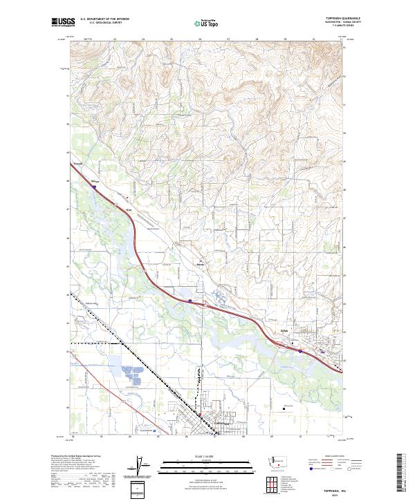
2023 Map of Toppenish
USGS Topo · Published 2023About this map
The Yakima River defines the central corridor of this Yakima County landscape, where complex irrigation networks like the Sunnyside Canal, Roza Canal, and Union Gap Canal support the region's agricultural vitality. Several established settlements line the valley floor, including the larger hub of Toppenish to the south and Zillah to the east. Smaller communities such as Buena, Flint, Sawyer, and Donald are situated along the river's path, connected by the Yakima Valley Hwy and local rail infrastructure like N Track Rd.
Find a feature on this map
146 named features on this map. Tap any name to fly to it.
Don’t see what you’re looking for? This feature index may not catch every label — zoom into the map to look around manually.
Map Details
Editions of this 2023 Toppenish Map
This is the sole edition of this map. No revisions or reprints were ever made.
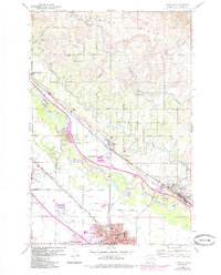
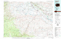
Historical Maps of Toppenish Through Time
3 maps found