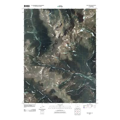
2010 Map of Trail Ridge
USGS Topo · Published 2010About this map
Trial Ridge serves as the backbone of this high-altitude landscape, where modern infrastructure meets the remnants of early mountain access. The presence of the Old Fall River Rd highlights the historical transition of travel through the Rockies, providing a stark contrast to the sweeping curves of the main highway. The map documents significant water features and engineering, including the site of Lawn Dam at Lawn Lake, a location tied to the area's complex hydrological history.
Find a feature on this map
63 named features on this map. Tap any name to fly to it.
Don’t see what you’re looking for? This feature index may not catch every label — zoom into the map to look around manually.
Map Details
Editions of this 2010 Trail Ridge Map
This is the sole edition of this map. No revisions or reprints were ever made.
Other maps of this area

1915 · Longs Peak
USGS Topo · 1:125,000

1916 · Home
USGS Topo · 1:125,000

1919 · Rocky Mountain National Park
USGS Topo · 1:125,000

1920 · Home
USGS Topo · 1:125,000

1954 · Greeley
USGS Topo · 1:250,000

1957 · Greeley
USGS Topo · 1:250,000

1957 · Mc Henrys Peak
USGS Topo · 1:24,000

1957 · Trail Ridge
USGS Topo · 1:24,000

1957 · Longs Peak
USGS Topo · 1:24,000

1957 · Estes Park
USGS Topo · 1:24,000