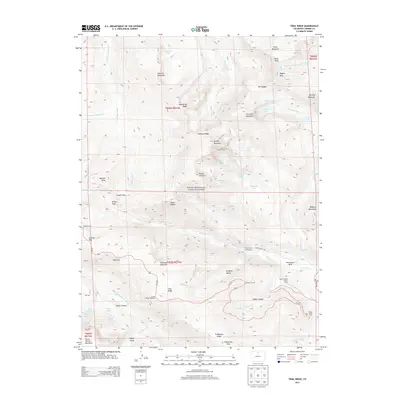
2013 Map of Trail Ridge
USGS Topo · Published 2013About this map
Rocky Mountain National Park contains some of the highest alpine terrain in Colorado, captured here in detail with its high-altitude peaks and glacial features. The Mummy Range dominates the northern portion of the sheet, with towering summits like Hagues Peak and Ypsilon Mountain rising above high-mountain lakes such as Lawn Lake and Spectacle Lakes. In the northeast, the presence of the Rowe Glacier highlights the era’s remaining permanent ice fields.
Find a feature on this map
74 named features on this map. Tap any name to fly to it.
Don’t see what you’re looking for? This feature index may not catch every label — zoom into the map to look around manually.
Map Details
Editions of this 2013 Trail Ridge Map
This is the sole edition of this map. No revisions or reprints were ever made.
Other maps of this area

1915 · Longs Peak
USGS Topo · 1:125,000

1916 · Home
USGS Topo · 1:125,000

1919 · Rocky Mountain National Park
USGS Topo · 1:125,000

1920 · Home
USGS Topo · 1:125,000

1954 · Greeley
USGS Topo · 1:250,000

1957 · Greeley
USGS Topo · 1:250,000

1957 · Mc Henrys Peak
USGS Topo · 1:24,000

1957 · Trail Ridge
USGS Topo · 1:24,000

1957 · Longs Peak
USGS Topo · 1:24,000

1957 · Estes Park
USGS Topo · 1:24,000