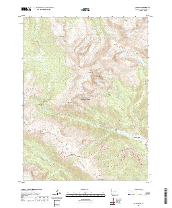
2022 Map of Trail Ridge
USGS Topo · Published 2022About this map
Rocky Mountain National Park contains the high alpine tundra and glaciated valleys of the Mummy Range, where the continental divide winds through peaks like Hagues Peak and Ypsilon Mtn. This modern survey illustrates the complex drainage networks of the Fall River and the Roaring River, highlighting the precarious location of the Rowe Glacier and numerous high-altitude basins such as Lawn Lake.
Find a feature on this map
73 named features on this map. Tap any name to fly to it.
Don’t see what you’re looking for? This feature index may not catch every label — zoom into the map to look around manually.
Map Details
Editions of this 2022 Trail Ridge Map
This is the sole edition of this map. No revisions or reprints were ever made.
Other maps of this area

1915 · Longs Peak
USGS Topo · 1:125,000

1916 · Home
USGS Topo · 1:125,000

1919 · Rocky Mountain National Park
USGS Topo · 1:125,000

1920 · Home
USGS Topo · 1:125,000

1954 · Greeley
USGS Topo · 1:250,000

1957 · Greeley
USGS Topo · 1:250,000

1957 · Mc Henrys Peak
USGS Topo · 1:24,000

1957 · Trail Ridge
USGS Topo · 1:24,000

1957 · Longs Peak
USGS Topo · 1:24,000

1957 · Estes Park
USGS Topo · 1:24,000