Loading...
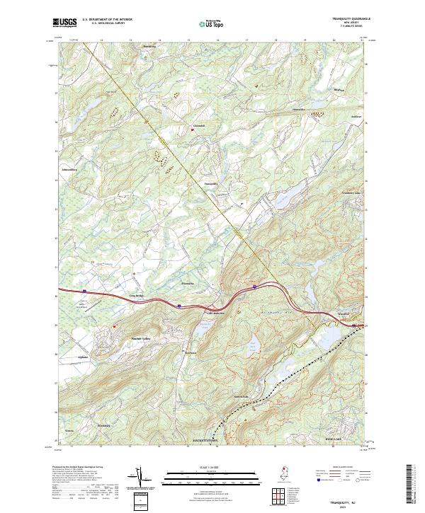
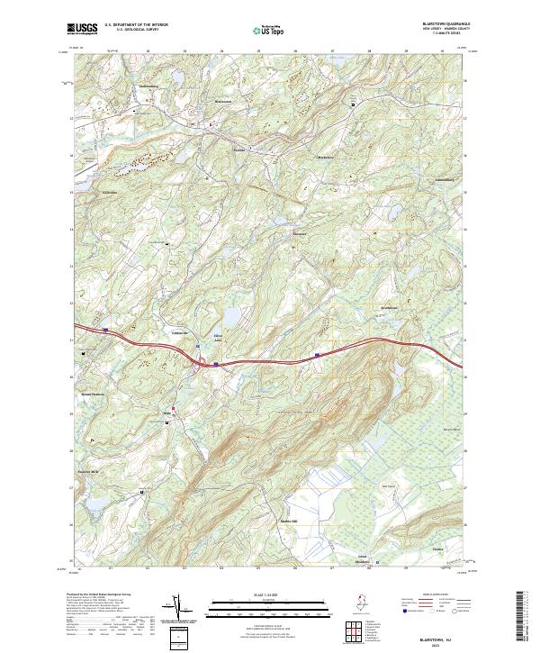
Loading map...2023 Map of Tranquility
USGS Topo · Published 2023About this map
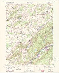
Tranquility and Allamuchy anchor this section of northern New Jersey, where the landscape transitions between the broad valleys of the Pequest River and the significant rise of Allamuchy Mtn. The map documents a corridor of historical significance, particularly around Waterloo and Saxton Falls along the Musconetcong River, areas long associated with the transport and industrial networks of the region.
Find a feature on this map
169 named features on this map. Tap any name to fly to it.
Don’t see what you’re looking for? This feature index may not catch every label — zoom into the map to look around manually.
Map Details
Date Portrayed2023
Date Published2023
PublisherU.S. Geological Survey
Map TypeTopographic
Scale1:24000
Physical Dimensions24 x 29 inches
Editions of this 2023 Tranquility Map
This is the sole edition of this map. No revisions or reprints were ever made.
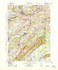
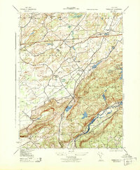
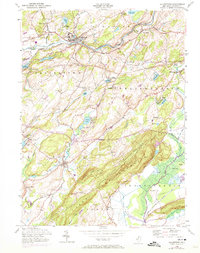
Historical Maps of Independence Township Through Time
6 maps found
Featured Locations
Source Details
SourceU.S. Geological Survey
CopyrightPublic Domain