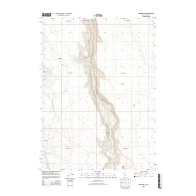
2013 Map of Triguero Lake
USGS Topo · Published 2013About this map
Bruneau Canyon dominates the center of this Owyhee County landscape, where the Bruneau River carves deep through the high plateaus of the J-P Desert and Diamond A Desert. The map documents a sparsely populated region defined by traditional land use, including the Frank Triguero Homestead, White Homestead, and Homer Bedal Homestead. These named properties, along with the isolated Indian Batt Cabin to the north, reflect the enduring ranching and settlement history of this remote Idaho terrain.
Find a feature on this map
19 named features on this map. Tap any name to fly to it.
Don’t see what you’re looking for? This feature index may not catch every label — zoom into the map to look around manually.
Map Details
Editions of this 2013 Triguero Lake Map
This is the sole edition of this map. No revisions or reprints were ever made.
Other maps of this area

1955 · Twin Falls
USGS Topo · 1:250,000

1958 · Twin Falls
USGS Topo · 1:250,000

1978 · The Arch
USGS Topo · 1:24,000
1979 · Antelope Creek
USGS Topo · 1:24,000

1979 · Cowan Reservoir
USGS Topo · 1:24,000

1979 · Indian Hot Springs
USGS Topo · 1:24,000
1979 · Triguero Lake
USGS Topo · 1:24,000
1979 · Triplet Butte
USGS Topo · 1:24,000
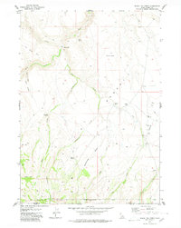
1979 · Black Leg Creek
USGS Topo · 1:24,000
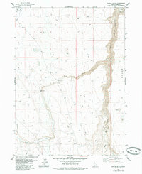
1979 · Buster Butte
USGS Topo · 1:24,000