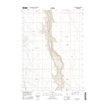
2017 Map of Triguero Lake
USGS Topo · Published 2017About this map
Bruneau Canyon dominates this arid landscape of Owyhee County, carving a deep, narrow gorge through the high desert plateaus. The Bruneau River winds through the floor of this steep-walled trench, which separates the J-P Desert to the west from the Diamond A Desert to the east. This 2017 survey highlights the stark topographical contrast between the flat, wind-swept draws like Long Draw and the vertical relief of the river canyon. Away from the main gorge, ephemeral water features such as Triguero Lake and the drainage of Sheep Cr indicate the scarce water sources in this high-elevation basin. The presence of Rowland Rt Rd and isolated features like Black Rock Pocket mark the few established points of access for ranching or land management in this sparsely populated region of Idaho.
Find a feature on this map
15 named features on this map. Tap any name to fly to it.
Don’t see what you’re looking for? This feature index may not catch every label — zoom into the map to look around manually.
Map Details
Editions of this 2017 Triguero Lake Map
This is the sole edition of this map. No revisions or reprints were ever made.
Other maps of this area

1955 · Twin Falls
USGS Topo · 1:250,000

1958 · Twin Falls
USGS Topo · 1:250,000

1978 · The Arch
USGS Topo · 1:24,000
1979 · Antelope Creek
USGS Topo · 1:24,000

1979 · Cowan Reservoir
USGS Topo · 1:24,000

1979 · Indian Hot Springs
USGS Topo · 1:24,000
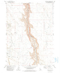
1979 · Triguero Lake
USGS Topo · 1:24,000
1979 · Triplet Butte
USGS Topo · 1:24,000
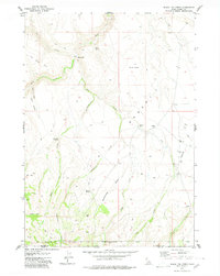
1979 · Black Leg Creek
USGS Topo · 1:24,000
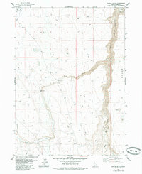
1979 · Buster Butte
USGS Topo · 1:24,000