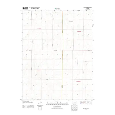
2013 Map of Truckton NE
USGS Topo · Published 2013About this map
The high plains of eastern Colorado are documented here at the boundary of El Paso and Lincoln counties. The landscape is defined by a sparse network of section roads such as Whittemore Rd, Truckton Rd, and Shear Rd, which structure the rural ranching and agricultural land. A notable center for local history is Saint Lukes Cem, located near the intersection of S Johnson Rd and Shear Rd.
Find a feature on this map
26 named features on this map. Tap any name to fly to it.
Don’t see what you’re looking for? This feature index may not catch every label — zoom into the map to look around manually.
Map Details
Editions of this 2013 Truckton NE Map
This is the sole edition of this map. No revisions or reprints were ever made.
Other maps of this area

1889 · Sanborn
USGS Topo · 1:125,000

1891 · Sanborn
USGS Topo · 1:125,000

1893 · Sanborn
USGS Topo · 1:125,000

1893 · Big Springs
USGS Topo · 1:125,000

1954 · Lamar
USGS Topo · 1:250,000

1954 · Pueblo
USGS Topo · 1:250,000

1957 · Pueblo
USGS Topo · 1:250,000

1958 · Pueblo
USGS Topo · 1:250,000

1958 · Lamar
USGS Topo · 1:250,000

1962 · Pueblo
USGS Topo · 1:250,000