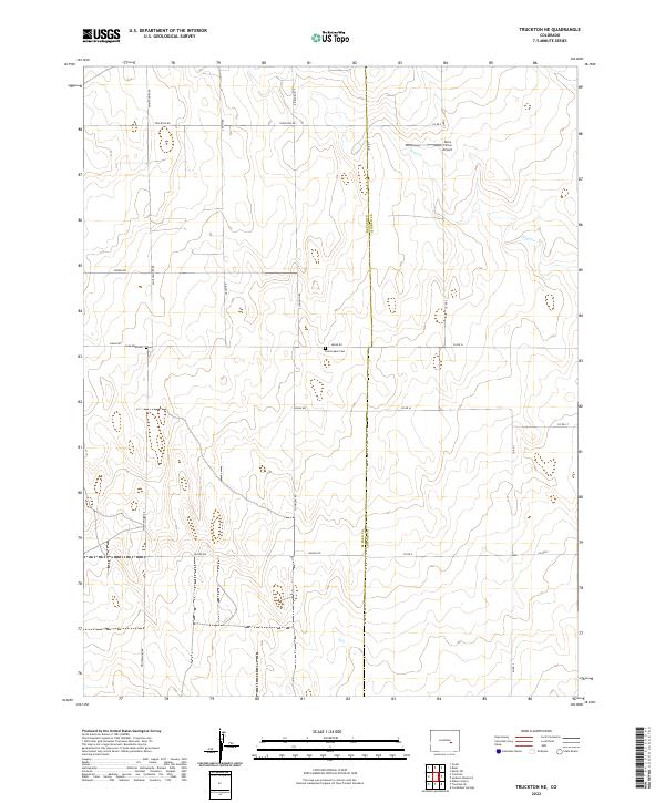
2022 Map of Truckton NE
USGS Topo · Published 2022About this map
The rolling plains of the high prairie intersect at the El Paso Co Lincoln Co boundary in this recent mapping of the eastern Colorado landscape. This agrarian region is defined by a sparse grid of section-line roads, such as Whittemore Rd and Truckton Rd, that navigate the drainage basin of Pond Cr. The layout of these roads reflects the systematic township and range organization that has governed land use here for generations, providing access to isolated homesteads and ranching tracts. Cultural landmarks are infrequent but significant for local history, including the Saint Lukes Cem located along Shear Rd. Aviation interest is represented by the Terra Firma Airport, a small airstrip serving this rural stretch of the plains. The landscape remains primarily open, with intermittent water features and a network of county roads including Co Rd 1 and Keller Rd linking the quiet townships.
Find a feature on this map
23 named features on this map. Tap any name to fly to it.
Don’t see what you’re looking for? This feature index may not catch every label — zoom into the map to look around manually.
Map Details
Editions of this 2022 Truckton NE Map
This is the sole edition of this map. No revisions or reprints were ever made.
Other maps of this area

1889 · Sanborn
USGS Topo · 1:125,000

1891 · Sanborn
USGS Topo · 1:125,000

1893 · Sanborn
USGS Topo · 1:125,000

1893 · Big Springs
USGS Topo · 1:125,000

1954 · Lamar
USGS Topo · 1:250,000

1954 · Pueblo
USGS Topo · 1:250,000

1957 · Pueblo
USGS Topo · 1:250,000

1958 · Pueblo
USGS Topo · 1:250,000

1958 · Lamar
USGS Topo · 1:250,000

1962 · Pueblo
USGS Topo · 1:250,000