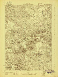
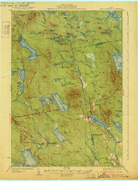
1930 Map of Tunk Lake
USGS Topo · Published 1930About this map
The Maine Central railroad corridor anchors this coastal and wilderness survey, connecting the villages of Sullivan and Franklin to the interior backcountry. Along the tracks, remote stops like Waukeag Sta and Tunk Lake Sta provided essential access for the logging and sporting industries of the era. The landscape is a dense network of water and timber, characterized by the sprawling Tunk Lake and Donnells Pond.
Find a feature on this map
123 named features on this map. Tap any name to fly to it.
Don’t see what you’re looking for? This feature index may not catch every label — zoom into the map to look around manually.
Map Details
Editions of this 1930 Tunk Lake Map
This is the sole edition of this map. No revisions or reprints were ever made.
Other maps of this area

1902 · Cherryfield
USGS Topo · 1:62,500

1904 · Cherryfield
USGS Topo · 1:62,500
1904 · Mount Desert
USGS Topo · 1:62,500
1904 · Bar Harbor
USGS Topo · 1:62,500
1904 · Petit Manan
USGS Topo · 1:62,500
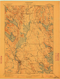
1911 · Ellsworth
USGS Topo · 1:62,500
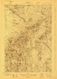
1929 · Great Pond
USGS Topo · 1:48,000
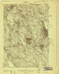
1929 · Lead Mountain
USGS Topo · 1:48,000
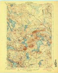
1932 · Tunk Lake
USGS Topo · 1:62,500
1932 · Lead Mountain
USGS Topo · 1:62,500