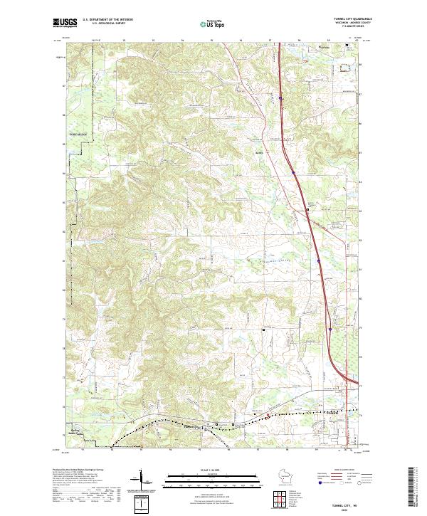
2022 Map of Tunnel City
USGS Topo · Published 2022About this map
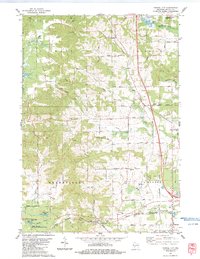
Tunnel City sits at a geographic crossroads in Monroe County, anchored by a topographic landscape defined by several prominent valleys. To the north, Warrens and the hamlet of Kirby border the cranberry-growing regions, while Summit Valley and Union Valley cut through the central uplands. The area is heavily marked by its pioneer-era foundations, with several burial grounds such as Greenfield Cem and Greenfield Catholic Cem serving as significant markers for local genealogy. The southern portion of the sheet is dominated by the northern reaches of Tomah, where Flora Dell Lake and Spring Bank Park provide recreational breaks along the headwaters of Sparta Cr. These water systems, including Whisky Cr and La Crosse River, highlight the hydrologic network that dictated early settlement patterns across the Wisconsin Driftless area's edge.
Find a feature on this map
112 named features on this map. Tap any name to fly to it.
Don’t see what you’re looking for? This feature index may not catch every label — zoom into the map to look around manually.
Map Details
Editions of this 2022 Tunnel City Map
This is the sole edition of this map. No revisions or reprints were ever made.