2023 Map of Turley
USGS Topo · Published 2023About this map
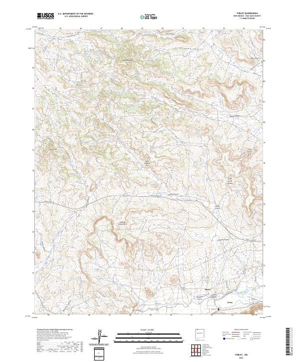
Blanco and Turley sit along the southern edge of this San Juan County landscape, where the irrigation of the Citizens Ditch meets the rugged drainage systems of the San Juan River basin. The area is defined by a dense network of sandstone features and canyons, including several named natural spans such as Little Delicate Arch, Crow Canyon Arch, and Pemada Canyon Arch. These geological landmarks are concentrated north of Navajo Dam Rd, illustrating the complex erosion patterns of the high desert plateau.
Find a feature on this map
68 named features on this map. Tap any name to fly to it.
Don’t see what you’re looking for? This feature index may not catch every label — zoom into the map to look around manually.
Map Details
Editions of this 2023 Turley Map
This is the sole edition of this map. No revisions or reprints were ever made.