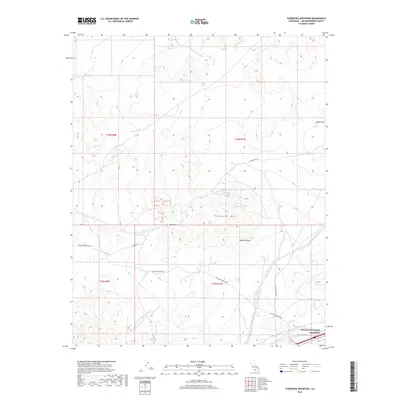
2018 Map of Turquoise Mountain
USGS Topo · Published 2018About this map
Turquoise Mtn rises as a prominent landmark within this desert landscape, situated at the northern reaches of the Mojave National Preserve. The terrain is defined by complex drainage systems, notably Riggs Wash in the northwest and the winding course of Bull Spring Wash to the southeast. These ephemeral watercourses illustrate the natural hydrologic patterns that have shaped the high desert floor over millennia.
Find a feature on this map
16 named features on this map. Tap any name to fly to it.
Don’t see what you’re looking for? This feature index may not catch every label — zoom into the map to look around manually.
Map Details
Editions of this 2018 Turquoise Mountain Map
This is the sole edition of this map. No revisions or reprints were ever made.
Other maps of this area

1910 · Ivanpah
USGS Topo · 1:250,000

1912 · Ivanpah
USGS Topo · 1:250,000

1933 · Avawatz Mountains
USGS Topo · 1:250,000

1942 · Ivanpah
USGS Topo · 1:250,000

1947 · Trona
USGS Topo · 1:250,000

1947 · Kingman
USGS Topo · 1:250,000

1948 · Kingman
USGS Topo · 1:250,000

1948 · Trona
USGS Topo · 1:250,000

1953 · Trona
USGS Topo · 1:250,000

1954 · Kingman
USGS Topo · 1:250,000