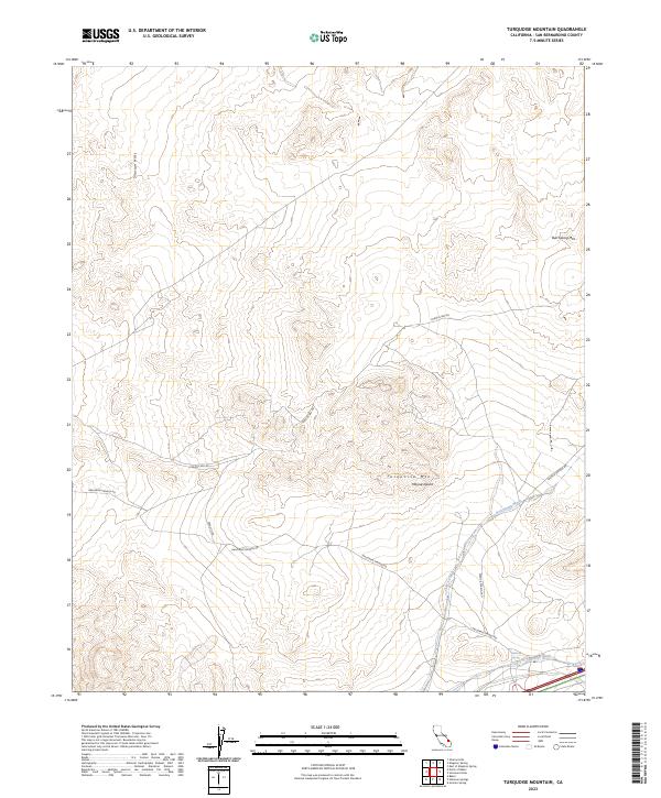
2023 Map of Turquoise Mountain
USGS Topo · Published 2023About this map
The Mojave Desert terrain of the Turquoise Mtn area is defined by its remote springs and expansive protected landscapes. This part of San Bernardino County contains the southern reaches of the Kingston Range Wilderness and the Hollow Hills Wilderness, preserving the natural character of the high desert. Water sources, vital for travel and mining history in this arid environment, are marked by Halloran Spring and Bull Spring, which drain into the prominent Bull Spring Wash and Halloran Wash. The map documents a rugged topography where the Silurian Hills and Bull Spring Mtn provide significant vertical relief. Access through this desert corridor is maintained via primitive routes such as Halloran Springs Rd and Francis Spg Rd, tracing paths long used by prospectors and travelers through the northeastern Mojave.
Find a feature on this map
18 named features on this map. Tap any name to fly to it.
Don’t see what you’re looking for? This feature index may not catch every label — zoom into the map to look around manually.
Map Details
Editions of this 2023 Turquoise Mountain Map
This is the sole edition of this map. No revisions or reprints were ever made.
Other maps of this area

1910 · Ivanpah
USGS Topo · 1:250,000

1912 · Ivanpah
USGS Topo · 1:250,000

1933 · Avawatz Mountains
USGS Topo · 1:250,000

1942 · Ivanpah
USGS Topo · 1:250,000

1947 · Trona
USGS Topo · 1:250,000

1947 · Kingman
USGS Topo · 1:250,000

1948 · Kingman
USGS Topo · 1:250,000

1948 · Trona
USGS Topo · 1:250,000

1953 · Trona
USGS Topo · 1:250,000

1954 · Kingman
USGS Topo · 1:250,000