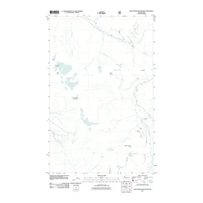
2011 Map of Twin Sisters Mountain
USGS Topo · Published 2011About this map
Twin Sisters Mountain and the surrounding Twin Sisters Range dominate this high-elevation landscape in Whatcom County. The terrain is defined by dramatic peaks including North Twin and South Twin, which stand above a complex drainage system feeding the Middle Fork Nooksack River to the north and the South Fork Nooksack River to the south. Several alpine water bodies are scattered throughout the highlands, including the prominent Lake Wiseman, Elbow Lake, and Three Lakes.
Find a feature on this map
32 named features on this map. Tap any name to fly to it.
Don’t see what you’re looking for? This feature index may not catch every label — zoom into the map to look around manually.
Map Details
Editions of this 2011 Twin Sisters Mountain Map
This is the sole edition of this map. No revisions or reprints were ever made.
Other maps of this area

1909 · Mt Baker
USGS Topo · 1:192,000

1915 · Mt. Baker
USGS Topo · 1:250,000

1919 · Van Zandt
USGS Topo · 1:62,500

1921 · Wickersham
USGS Topo · 1:62,500

1951 · Wickersham
USGS Topo · 1:62,500

1951 · Van Zandt
USGS Topo · 1:62,500

1952 · Mt. Baker
USGS Topo · 1:62,500

1952 · Hamilton
USGS Topo · 1:62,500

1955 · Concrete
USGS Topo · 1:250,000

1957 · Victoria
USGS Topo · 1:250,000