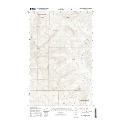
2014 Map of Twin Sisters Mountain
USGS Topo · Published 2014About this map
The Twin Sisters Range dominates this portion of the Mount Baker National Forest, where the high-altitude topography forms a complex drainage network between the Middle Fork Nooksack River and the South Fork Nooksack River. Distinct peaks including North Twin and South Twin anchor the northwestern corner, while the Sister Divide separates several alpine basins. Hikers and cartographers can trace the high-elevation route of the Pacific NW National Scenic Trail as it traverses the eastern slopes, crossing through Bell Pass. This modern survey illustrates the hydrology of the Cascades, where numerous creeks like Skookum Cr and Ridley Cr feed into the major river forks from high-mountain sources such as Lake Wiseman and Elbow Lake. The boundary between Whatcom and Skagit counties cuts across the southern section, marked by the elevation of George Peterson Butte.
Find a feature on this map
36 named features on this map. Tap any name to fly to it.
Don’t see what you’re looking for? This feature index may not catch every label — zoom into the map to look around manually.
Map Details
Editions of this 2014 Twin Sisters Mountain Map
This is the sole edition of this map. No revisions or reprints were ever made.
Other maps of this area
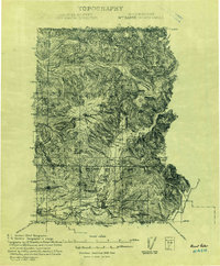
1909 · Mt Baker
USGS Topo · 1:192,000
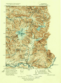
1915 · Mt. Baker
USGS Topo · 1:250,000
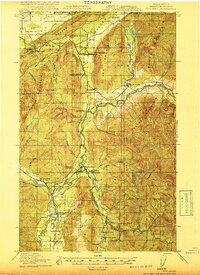
1919 · Van Zandt
USGS Topo · 1:62,500
1921 · Wickersham
USGS Topo · 1:62,500
1951 · Wickersham
USGS Topo · 1:62,500
1951 · Van Zandt
USGS Topo · 1:62,500
1952 · Mt. Baker
USGS Topo · 1:62,500
1952 · Hamilton
USGS Topo · 1:62,500

1955 · Concrete
USGS Topo · 1:250,000
1957 · Victoria
USGS Topo · 1:250,000