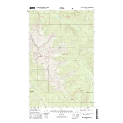
2017 Map of Twin Sisters Mountain
USGS Topo · Published 2017About this map
Twin Sisters Mountain dominates this portion of the Mount Baker National Forest, where the high peaks of the Twin Sisters Range create a formidable divide between the watersheds of the Middle Fork Nooksack River and the South Fork Nooksack River. The terrain is characterized by sharp elevations such as North Twin and South Twin, connected by the high-altitude Sister Divide. These peaks provide a natural barrier that has historically dictated the movement of travel and water through the region.
Find a feature on this map
49 named features on this map. Tap any name to fly to it.
Don’t see what you’re looking for? This feature index may not catch every label — zoom into the map to look around manually.
Map Details
Editions of this 2017 Twin Sisters Mountain Map
This is the sole edition of this map. No revisions or reprints were ever made.
Other maps of this area
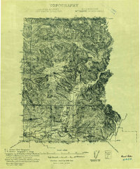
1909 · Mt Baker
USGS Topo · 1:192,000
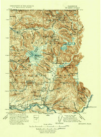
1915 · Mt. Baker
USGS Topo · 1:250,000
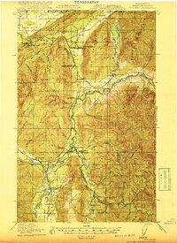
1919 · Van Zandt
USGS Topo · 1:62,500
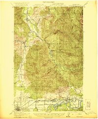
1921 · Wickersham
USGS Topo · 1:62,500
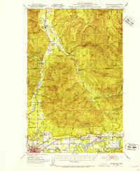
1951 · Wickersham
USGS Topo · 1:62,500
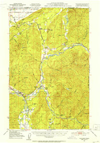
1951 · Van Zandt
USGS Topo · 1:62,500
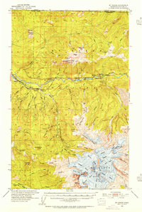
1952 · Mt. Baker
USGS Topo · 1:62,500
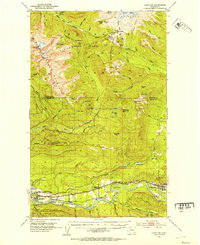
1952 · Hamilton
USGS Topo · 1:62,500

1955 · Concrete
USGS Topo · 1:250,000
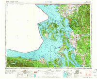
1957 · Victoria
USGS Topo · 1:250,000