Loading...
Loading map...2024 Map of Tyronza
USGS Topo · Published 2024About this map
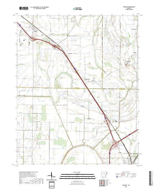
Tyronza serves as the primary hub in this corner of Northeast Arkansas, situated where the landscape is defined by the winding paths of Cross Bayou and the expansive wetlands of the St. Francis River basin. The map reveals a persistent agricultural grid punctuated by small settlements like Beasley, Deckerville, and Birdsong. The convergence of Poinsett Co, Crittenden Co, and Mississippi Co boundaries underscores the importance of this area as a regional crossroads.
Find a feature on this map
77 named features on this map. Tap any name to fly to it.
Don’t see what you’re looking for? This feature index may not catch every label — zoom into the map to look around manually.
Map Details
Date Portrayed2024
Date Published2024
PublisherU.S. Geological Survey
Map TypeTopographic
Scale1:24000
Physical Dimensions24 x 29 inches
Editions of this 2024 Tyronza Map
This is the sole edition of this map. No revisions or reprints were ever made.
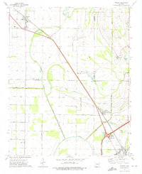
Historical Maps of Beasley Through Time
Featured Locations
Source Details
SourceU.S. Geological Survey
CopyrightPublic Domain