
1920 Map of Ukiah
USGS Topo · Published 1920About this map
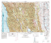
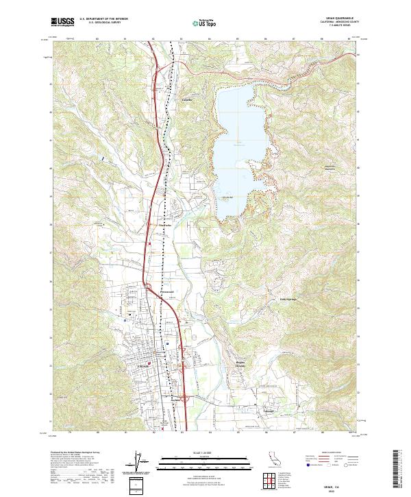
Ukiah and its surrounding valley floor are meticulously detailed in this survey by the Corps of Engineers, U.S. Army. The Russian River and its East Fork define the agricultural landscape, where the Northwestern Pacific RR parallels the State Highway to connect orchards and small settlements. A notable local landmark is the sprawling grounds of the Mendocino State Asylum south of the city, complete with its own asylum label and nearby infrastructure including a Power Station and Substation.
Find a feature on this map
41 named features on this map. Tap any name to fly to it.
Don’t see what you’re looking for? This feature index may not catch every label — zoom into the map to look around manually.
Map Details
Editions of this 1920 Ukiah Map
This is the sole edition of this map. No revisions or reprints were ever made.
Historical Maps of Ukiah Through Time
11 maps found
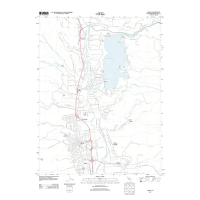
1920 Ukiah
Mendocino County, CA

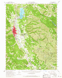
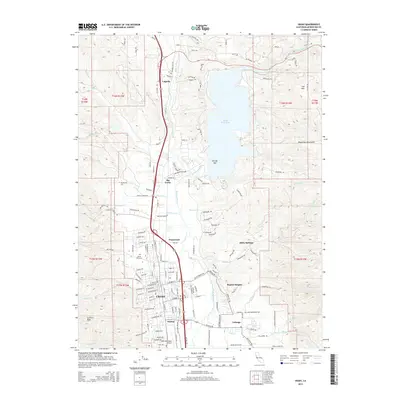
1944 Ukiah
Mendocino County, CA
1957 Ukiah
Mendocino County, CA
1958 Ukiah
Mendocino County, CA
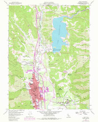
1958 Ukiah
Mendocino County, CA

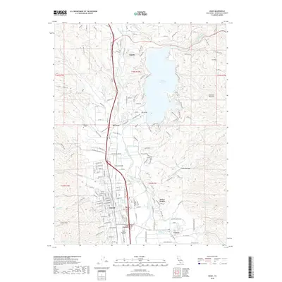
1960 Ukiah
Mendocino County, CA
1981 Ukiah
Mendocino County, CA
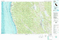
2012 Ukiah
Mendocino County, CA
2015 Ukiah
Mendocino County, CA
2018 Ukiah
Mendocino County, CA
2022 Ukiah
Mendocino County, CA